Take a Walk – Git, Çık Dışarı, Yürü!

The wide and full sidewalks of Mecidiyeköy İstanbul – Mecidiyeköy’ün geniş, dolu kaldırımlar

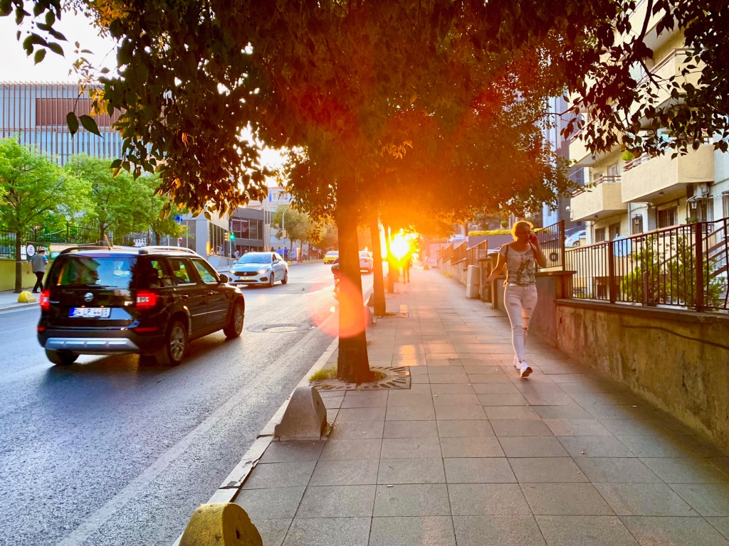
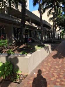
As those of you who know me are aware, I like to walk. I think nothing of a 20km walk through the city, and that’s often what I do for fun on my weekends. I’ve been working on losing weight, and I love cities, so this is one of the best things I can do for both of those concerns. For me, I started walking a lot when I lived in Chicago. I started slowly, simply having moved to Chicago without a car I had to walk to and from transit stations and points of interest, and this was a good start for me. Over my years there, I became friends with Jesse, who walks much more than I do, and way faster than I. Walking with Jesse I learned to walk with purpose, and that walking long distances is a lot of fun! (I really hated the idea of walking more than a mile before this). I had no problem biking long distances at that time, but walking on foot was not something I really wanted to do. Having gotten used to walking a little more over my time in Chicago, one day a friend and I walked ~4 miles from my apartment in Streeterville to a Turkish cafe on the North Side – though our goal was a different mediterranean cafe further away, this walk allowed us to discover something new and change our goal. This walk helped transform my opinion of walking in general, because we enjoyed a vibrant city-walk, and found something new and awesome.

4 mile walk to Efes Cafe – 6,4 km yürüyüş, Efes Cafe’ye

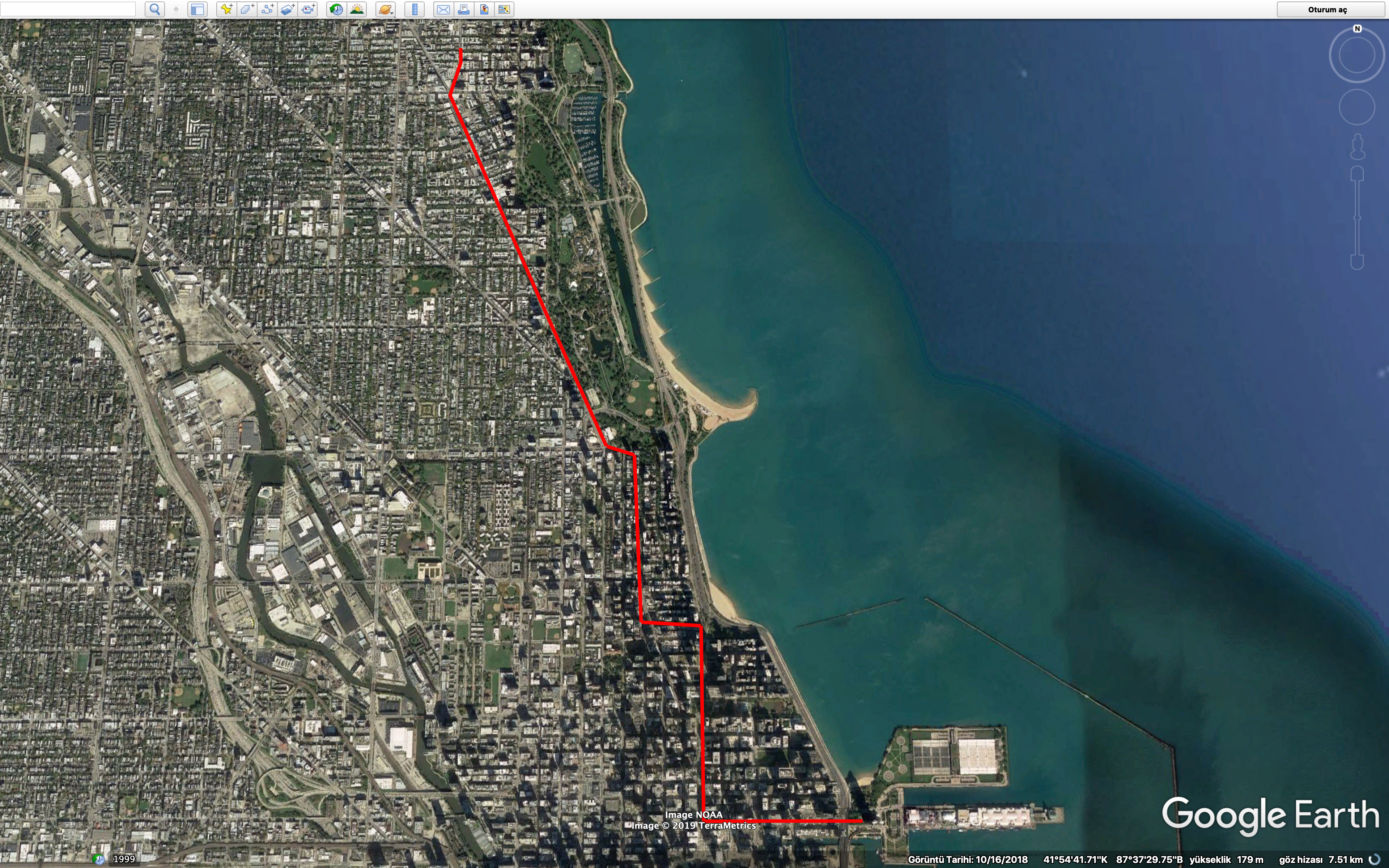
Beni tanıyanki gibi biliyorlar, yürümeye seviyorum. Şehiriçi 20km yürüyüş bana iyi geliyor, ve tatillerimde eğlence için sık sık yürüyorum. Kilo vermeye çalışıyorudum, ve şehirlere çok seviyorum. Bu en iyi yapabilirim şey o sebebler için. Şikagodayken çok yürüme başlattım. Yavaş başlattım, yani – araçsız Şikago’ya taşındım, ve toplu taşıma kulanmak için, o araçlardan istediğim yere gibi yürüdüm. Yıllarımda orada bir arkadaşımla tanıdım Jesse. Jesse çok yürüyor – uzun, hızlı hep yürüyor, benden çok daha hızlı bile. Jesse ile geziyorken hızlı, ve amaçlı nasıl yürümek öğrendim, ve uzun yürüyüşler eğlenceli olabilir. Bundan önce bile 1 mil (1,6 km) mesafeden nefret ettim yürüyerek. Bisikletle çok uzun sürüdüm, ama ayakta – yürüyerek çok istemedim. Şikagodayken biraz yürümeye alıştımdan sonra bir arkadaşımla biz 6,4km yürüdük. İlk amacımız bir akdeniz mutfağı Kuzey tarafta, ama biz ondan önce bir türk cafe bulduk, ve denedik. Bu yürüyüş benim fikrilerim değişti – biz çok eğlenceli bir şehiriçi yürüyüş tecrübe ettik, ve yeni harika bir yer bulduk.

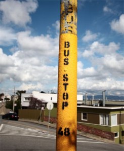
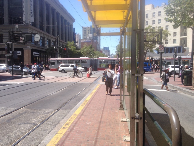
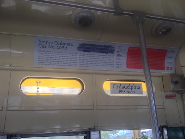
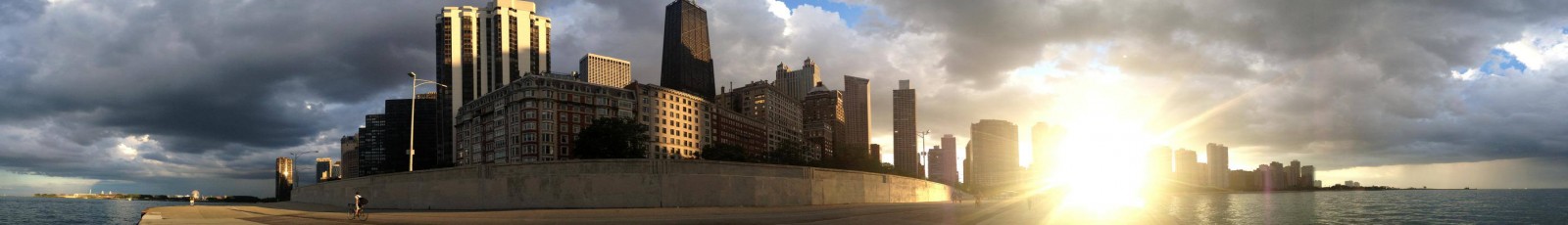
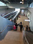
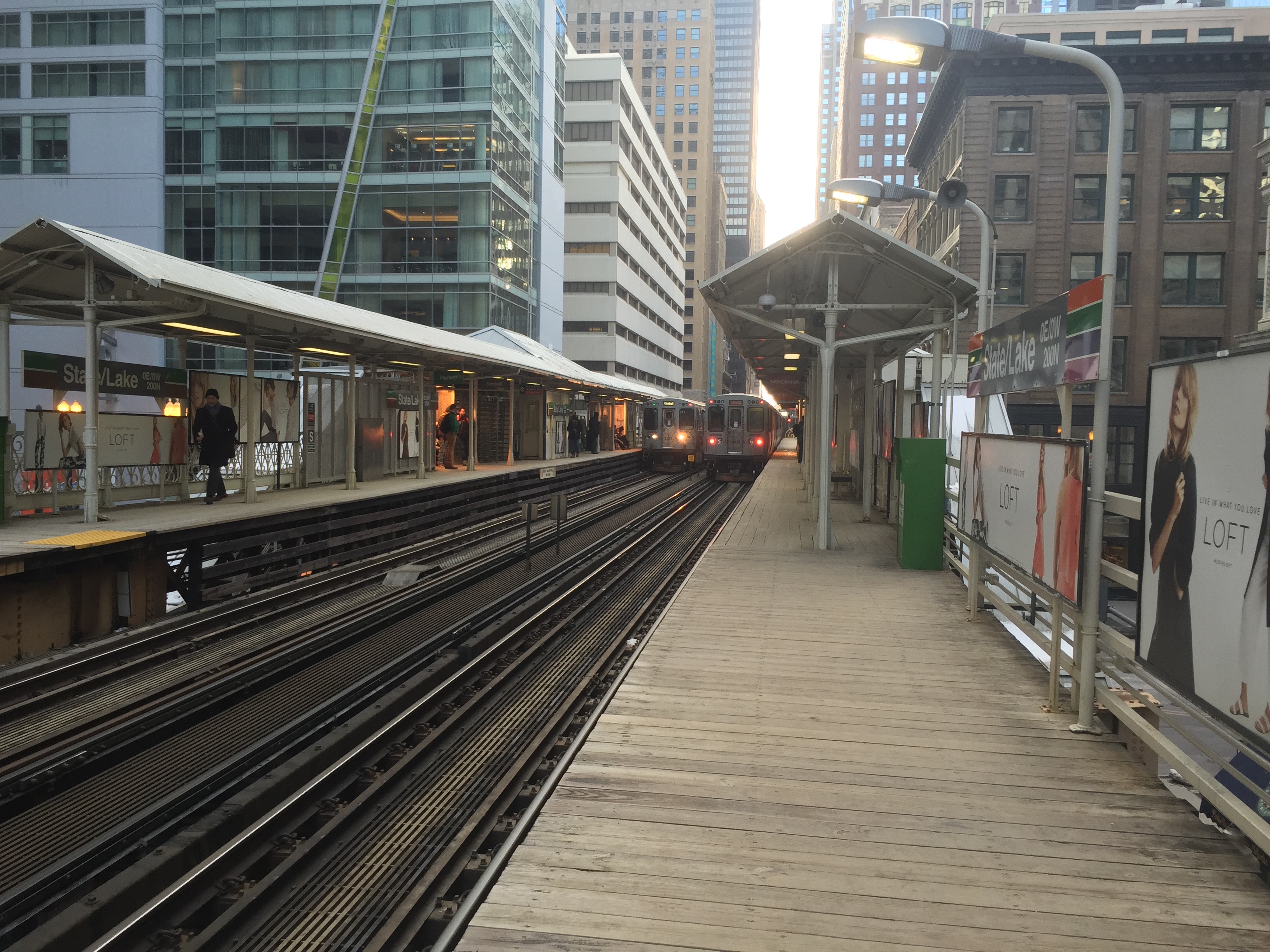
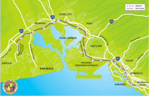
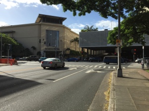
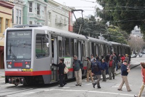
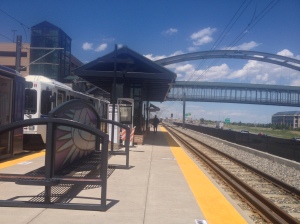
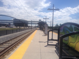
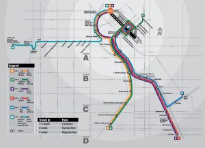
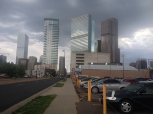
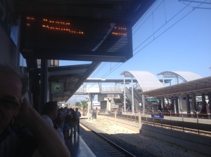
After this point, I began to walk a lot more, and it was around this time that I started tracking my steps with my phone and trying to hit 10,000 steps per day. I started walking from the Green line station at Randolph to my home at lake point tower around this time (22 mins, 1.2 miles) – I used to take the bus to the red line (.75 mi) on days I didn’t bike to IIT. Not long after this started my grocery store at Illinois and Columbus (1/2 mile) closed, and I began to walk to the Marianos a mile away in Lake Shore East Park. I was also walking to the blue line when I needed to go to the airport ( a little farther than green), and in my final year in Chicago, I began to walk all the way to Roosevelt station, 2.3 miles from my apartment (about halfway to IIT) on nice days to enjoy some time outside and the view of the skylines. I particularly enjoyed the mixed historic/modern Michigan Avenue Street Wall, and the view of the Chicago River.

Various walks I often made near my house – 1-2.3 miles long – Bazen yürüyüşler evime yakın – 1,6-3,8km uzunluğu
The gorgeous view down the Chicago River – Şikago Nehrinin inanılmaz manzarası
The Michigan Avenue Streetwall – this portion is more historic, farther south it is more modern – Mişigan Caddesinin Sokakduvarı – bu kısım daha tarihli, daha güneyde daha modern.

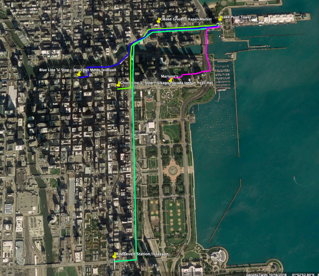
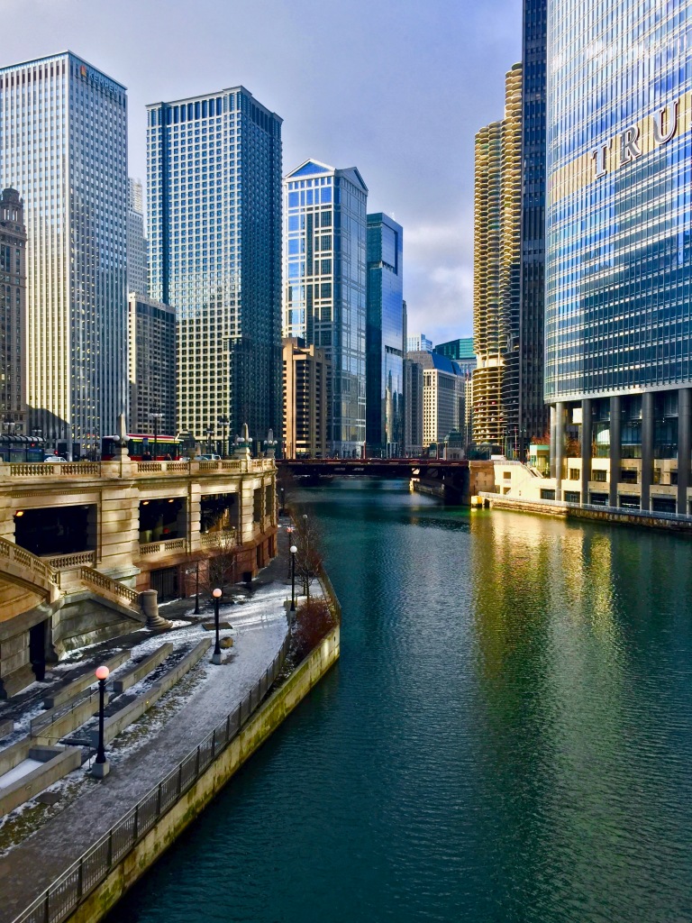
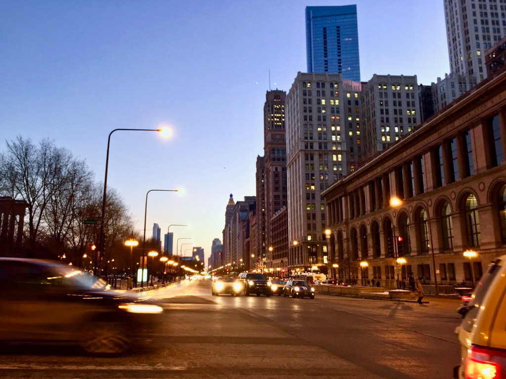
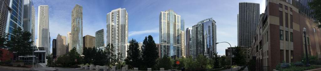
Bu noktadan sonra, çok daha yürümeye başlattım. Ve bu zamanlarda telefonla adımlara takip etmeye başlattım ve 10.000 adım günlük hedef kendime ayarladım. Şikago’nun ‘L’ trenin Yeşil hattının Randolph İstasyondan eve, evden o istasyona yürümeye başlattım bu zamanlarda (yaklaşık 2km). Bu değişimden önce bisikletim kullanmadımki günlerde, otobüs kullandım, kırmızı hatta kadar (1km mesafe otobüsle), ama yürüyüş olarak, Yeşil hata çok daha güzel bir yürüyüş oldu. Kısa bir süre sonra, en yakın marketim(800m) kapandı ve 1,6km mesafeden bir market gitmeye başlattım yürüyerek. Yeni market güzel bir park yanında, o manzaradan keyif aldım. Ayrıca havalımanı’ya gittimken metro mavi hat’a yürüdüm (2,5km). Şikagodayken son senemde Roosevelt İstasyon’a kadar yürümeye başlattım (4km gibi). O çok güzel bir yürüyüş – Mişigan Caddesinde gökdelen manzara sevdim. Mişigan Caddesinin Sokakduvarı ne güzel, hem tarihli, hem de Modern bazen parçalar, çok sevdim o görüntü. Ayrıca ben için güzel açık havada zaman harcadım bu yürüyüşler için. Diğeri Şikago Nehrinin köprülerden inanılmaz manzaralar var.

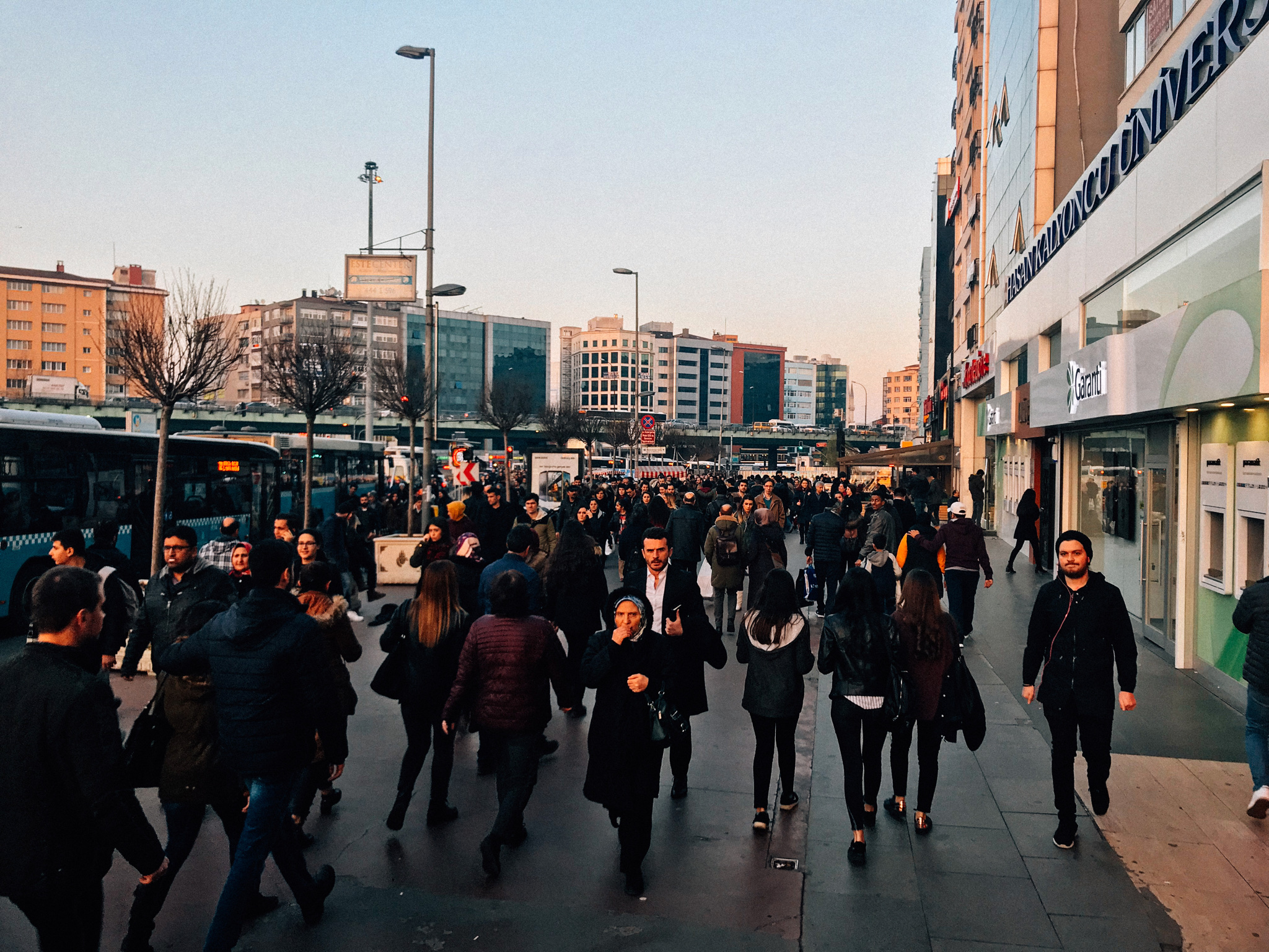
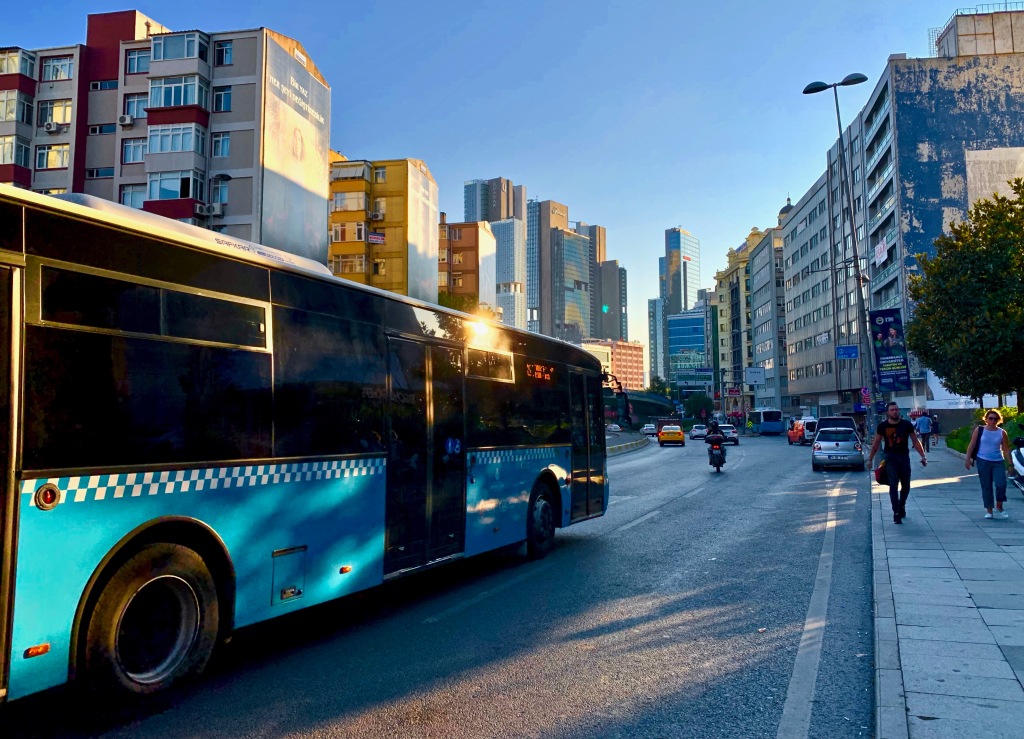
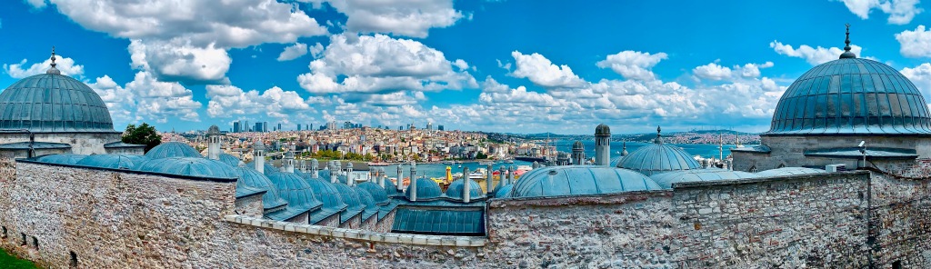
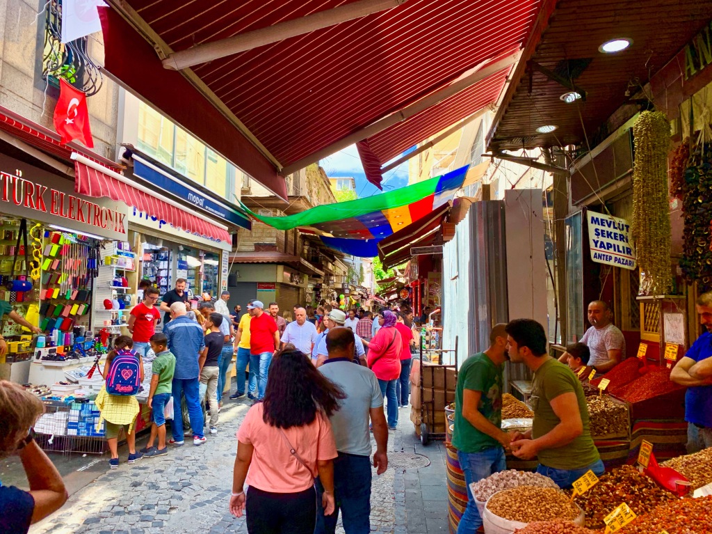
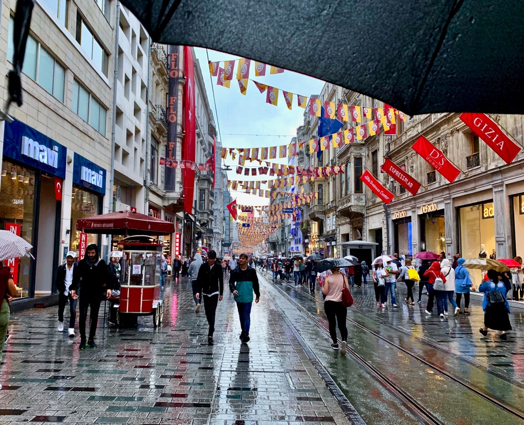
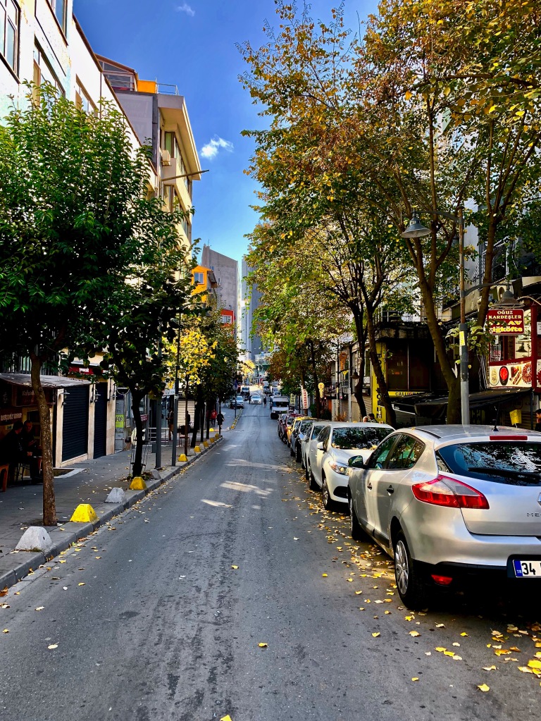
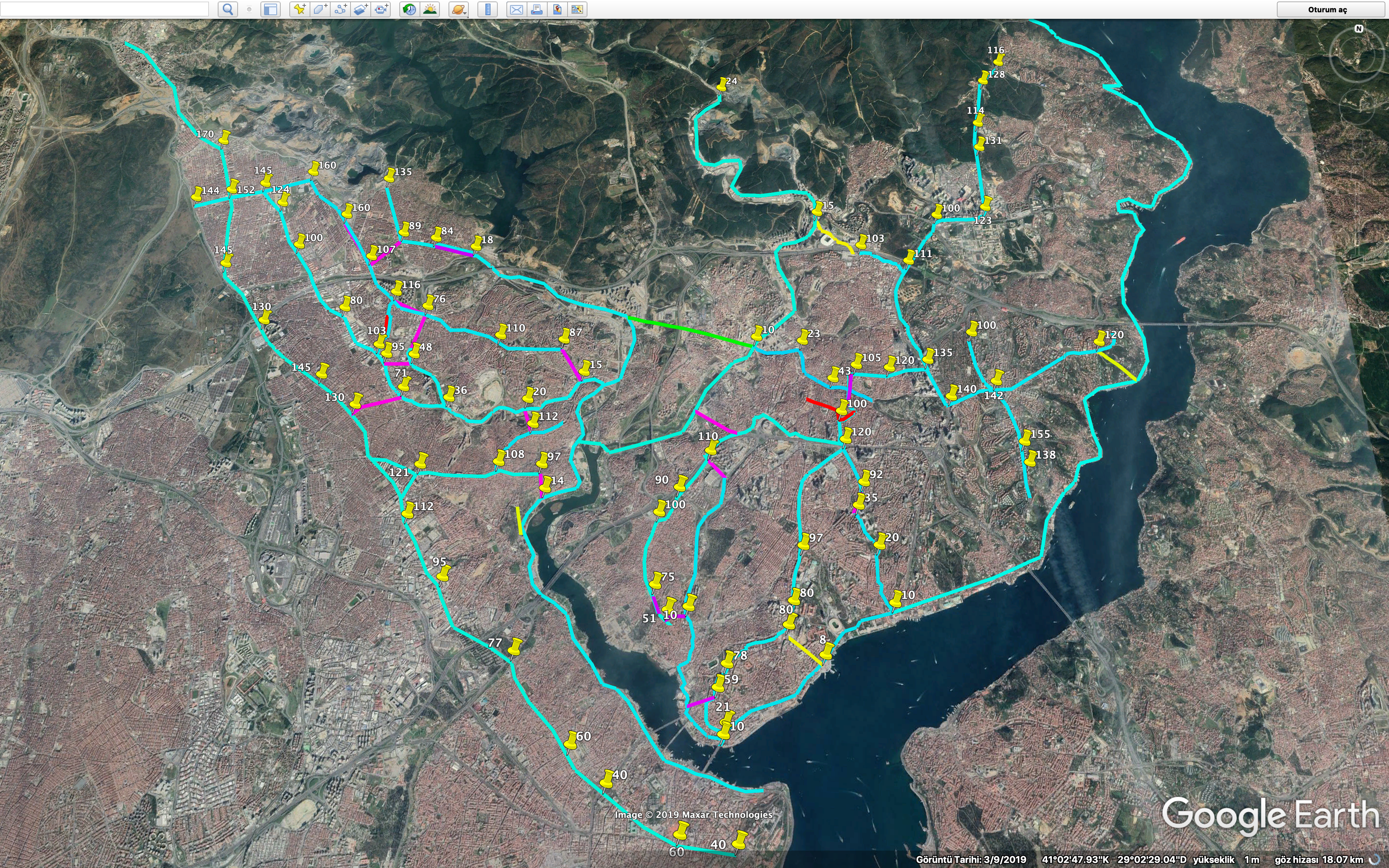
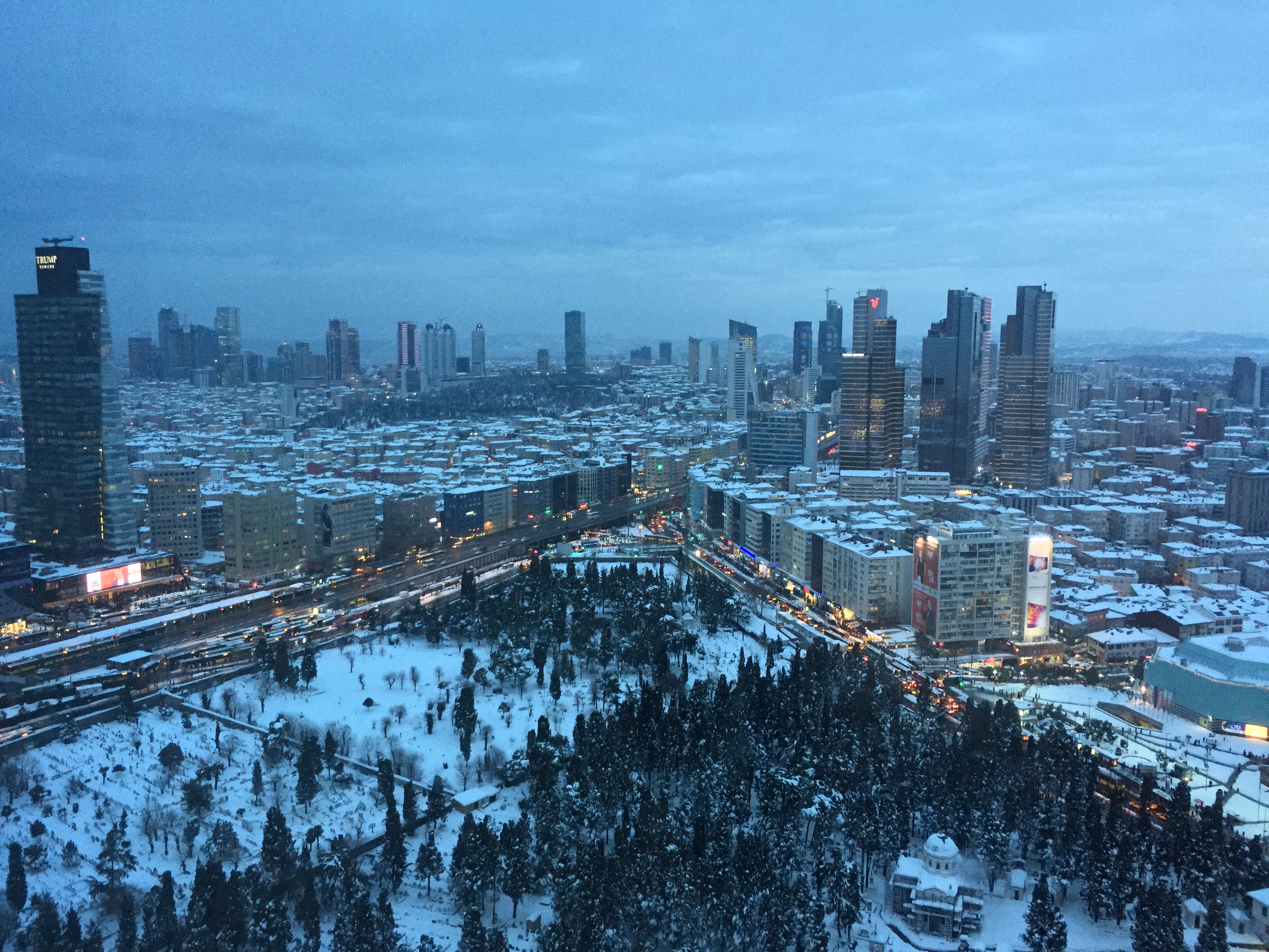
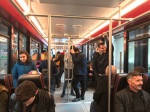
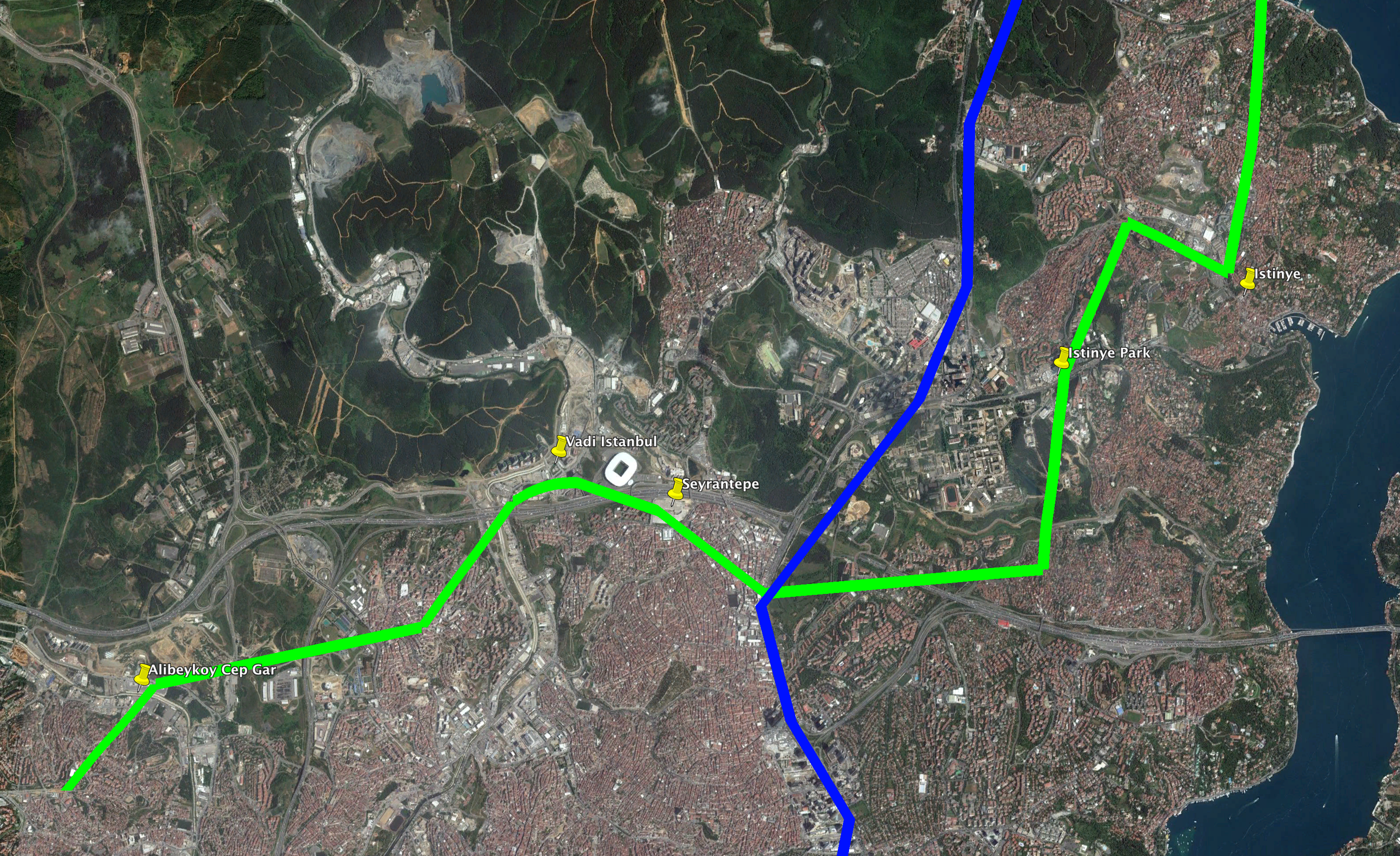
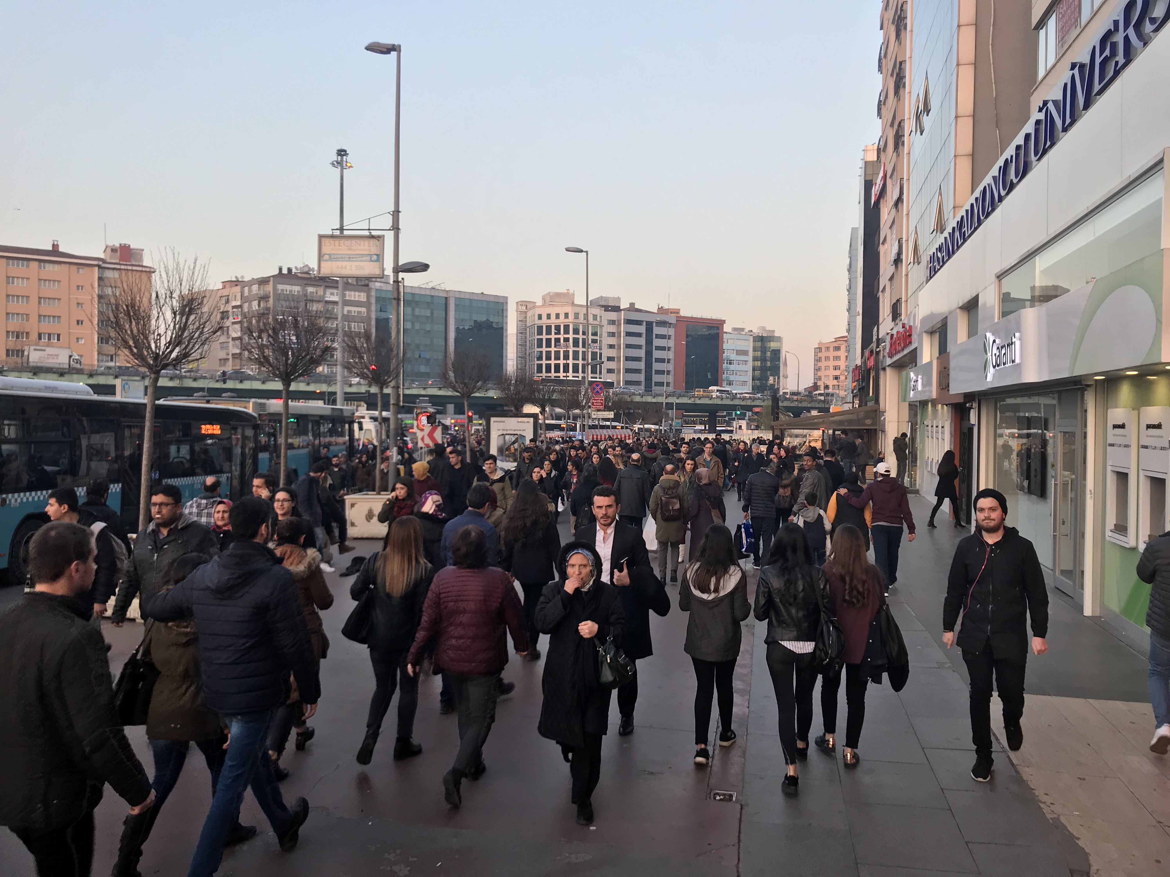
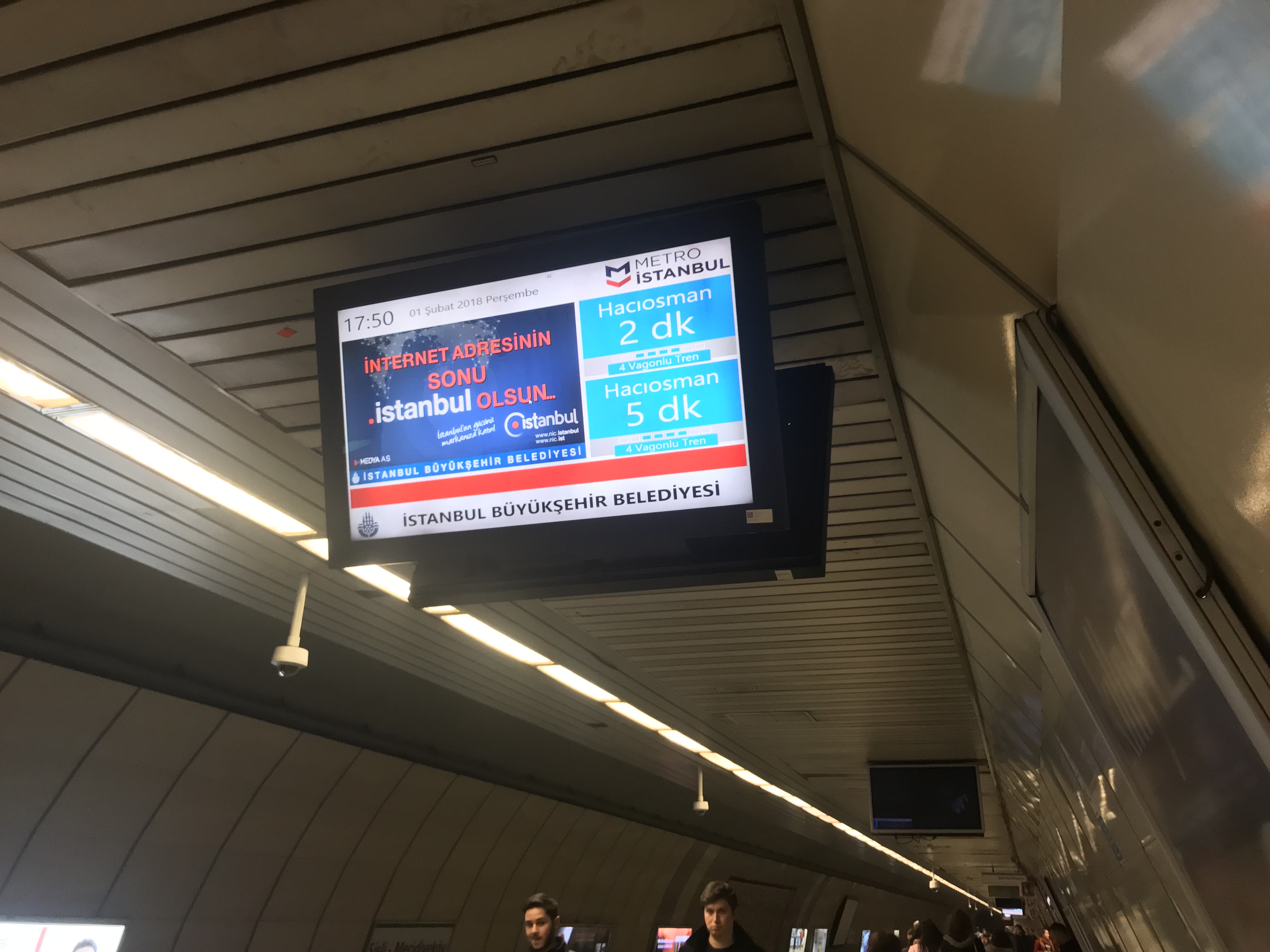
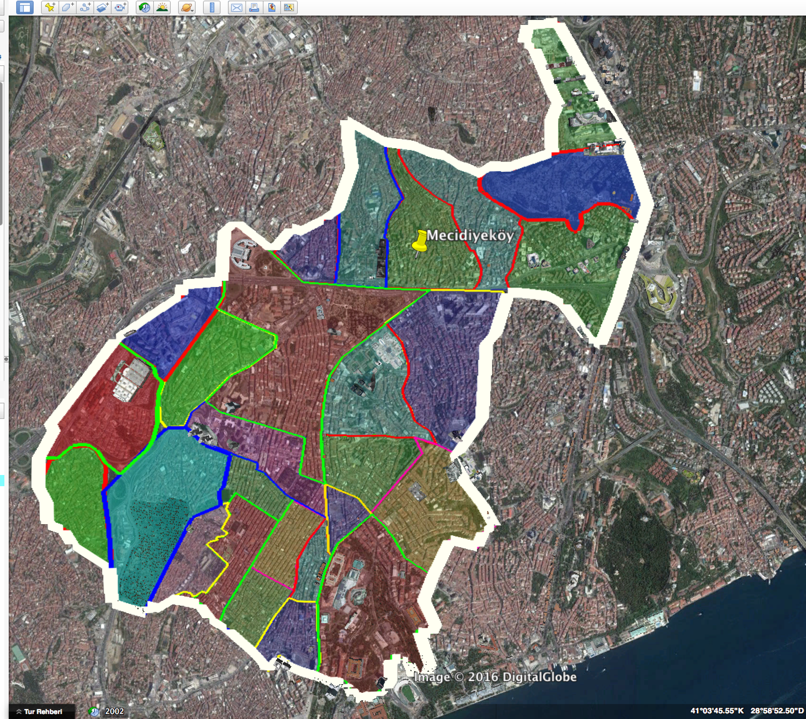
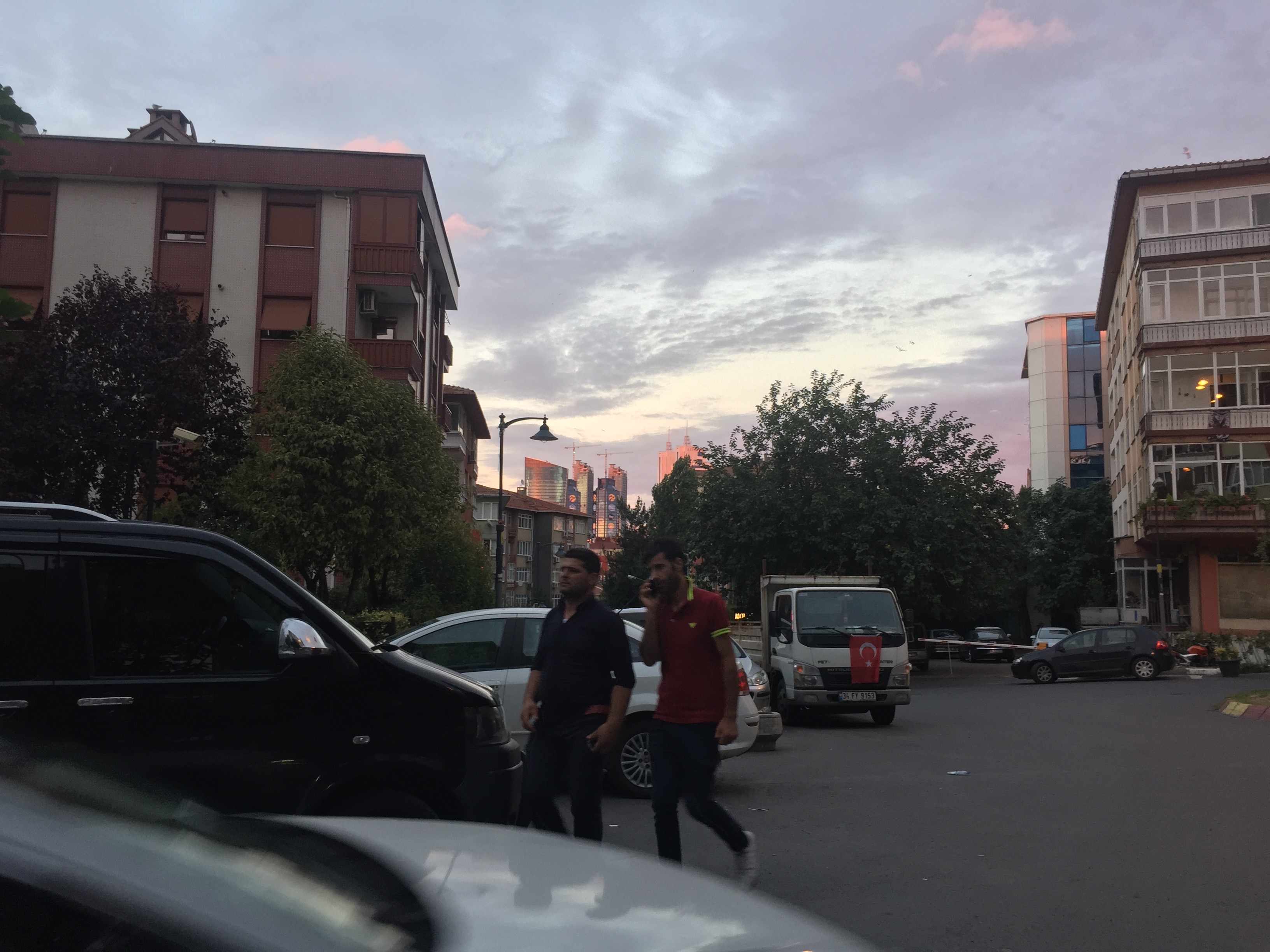
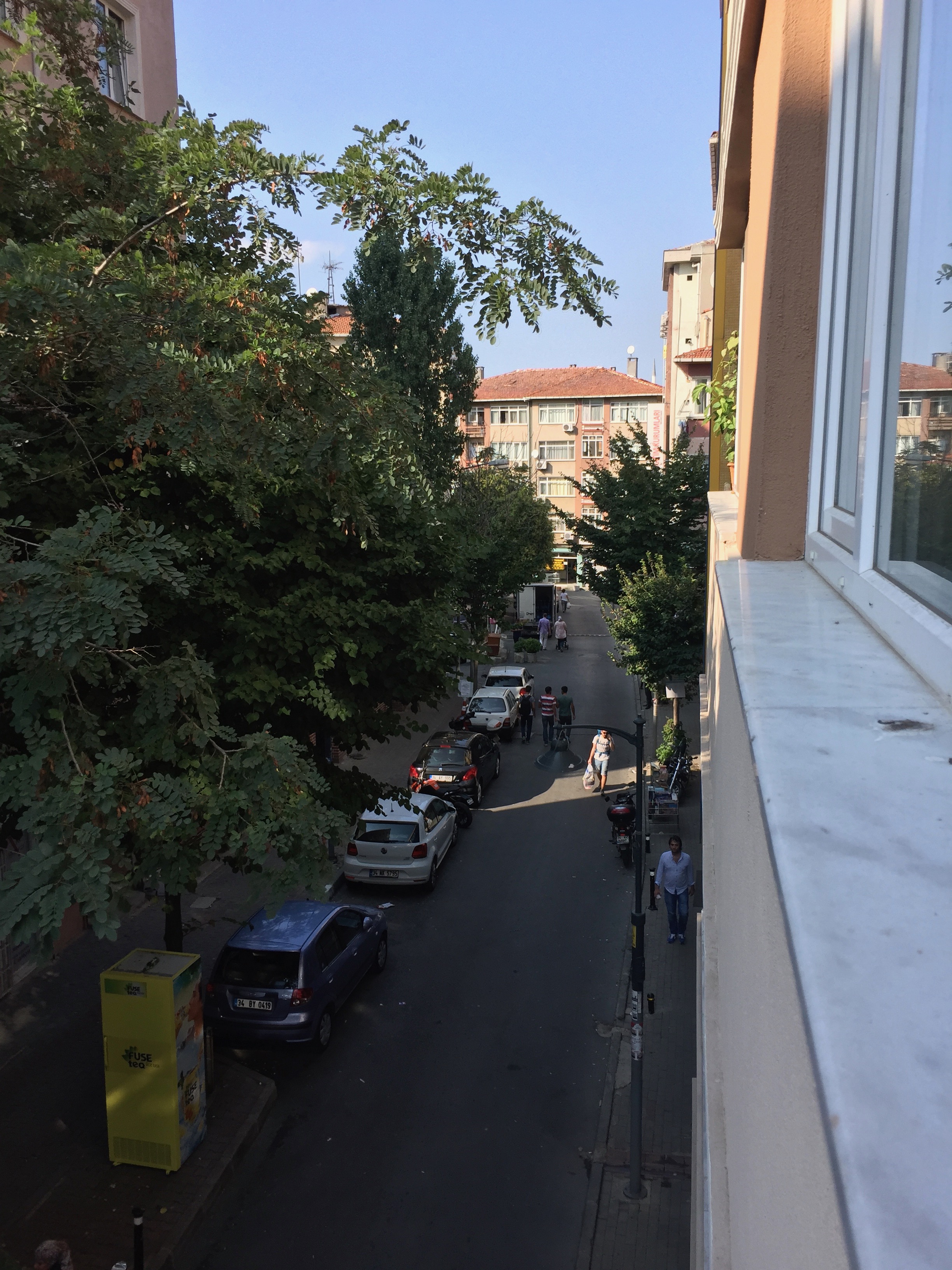
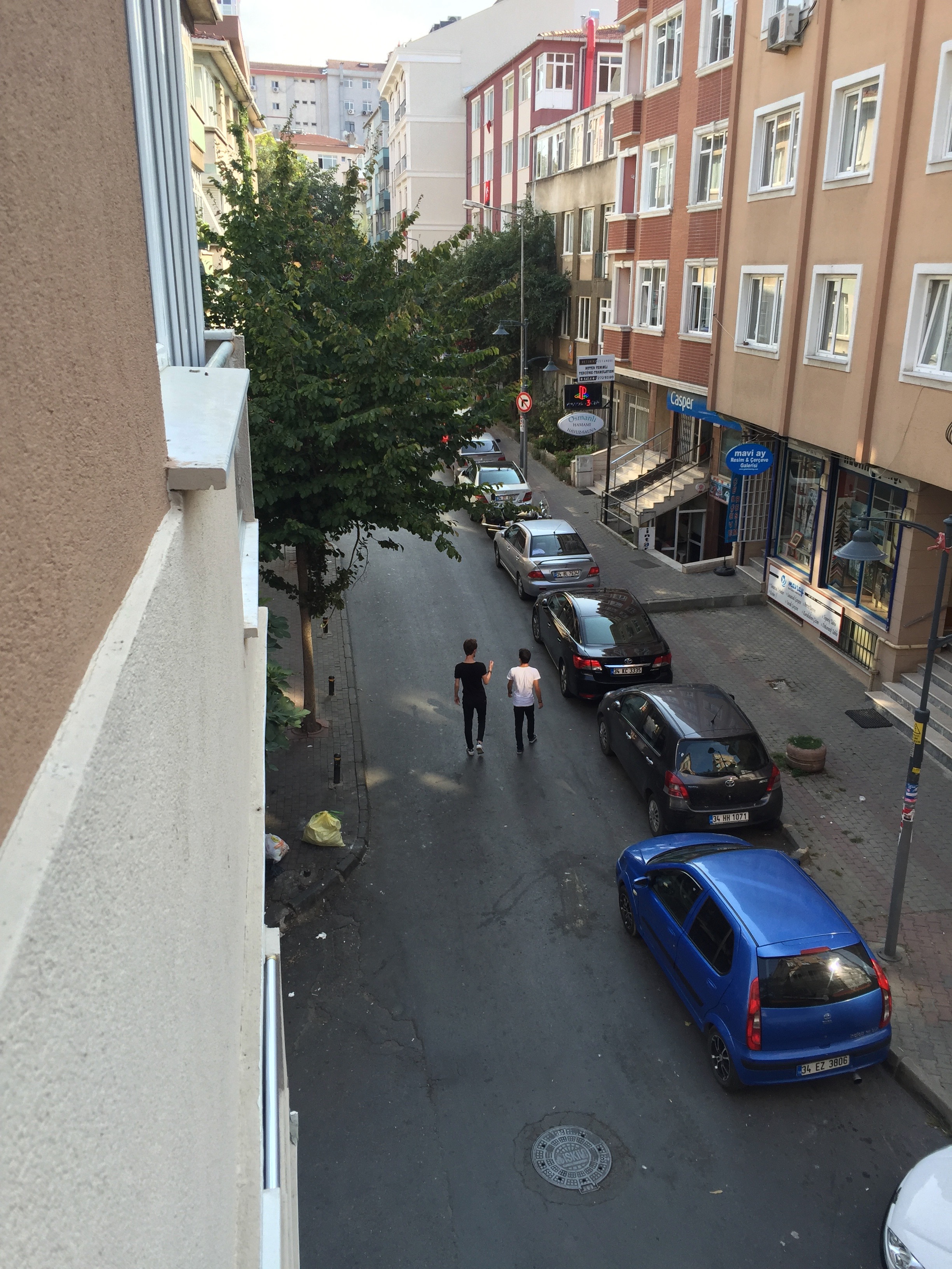
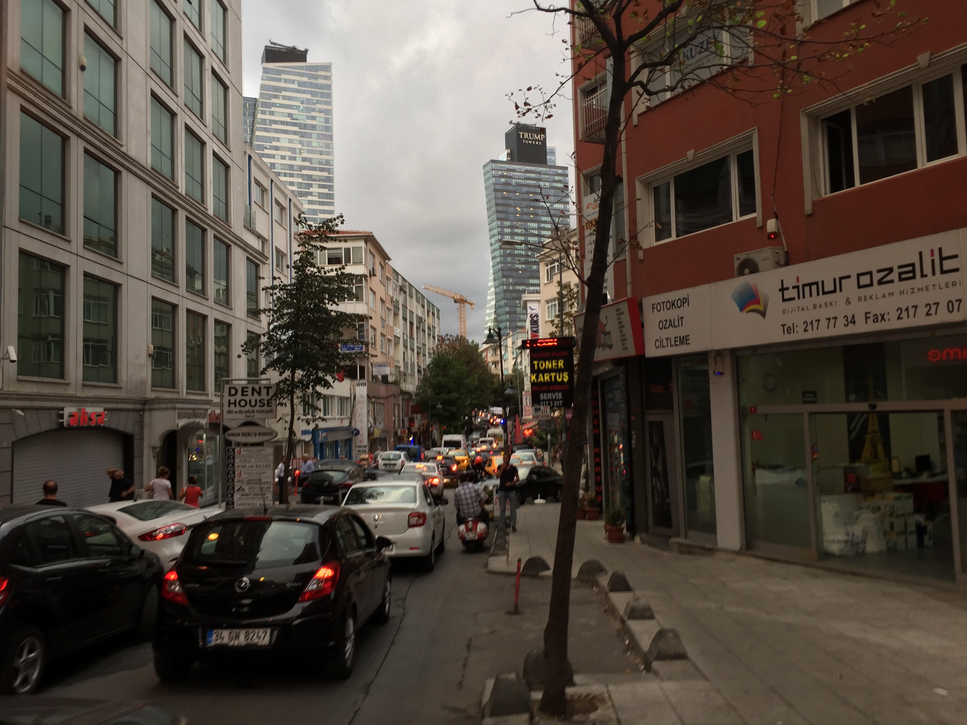
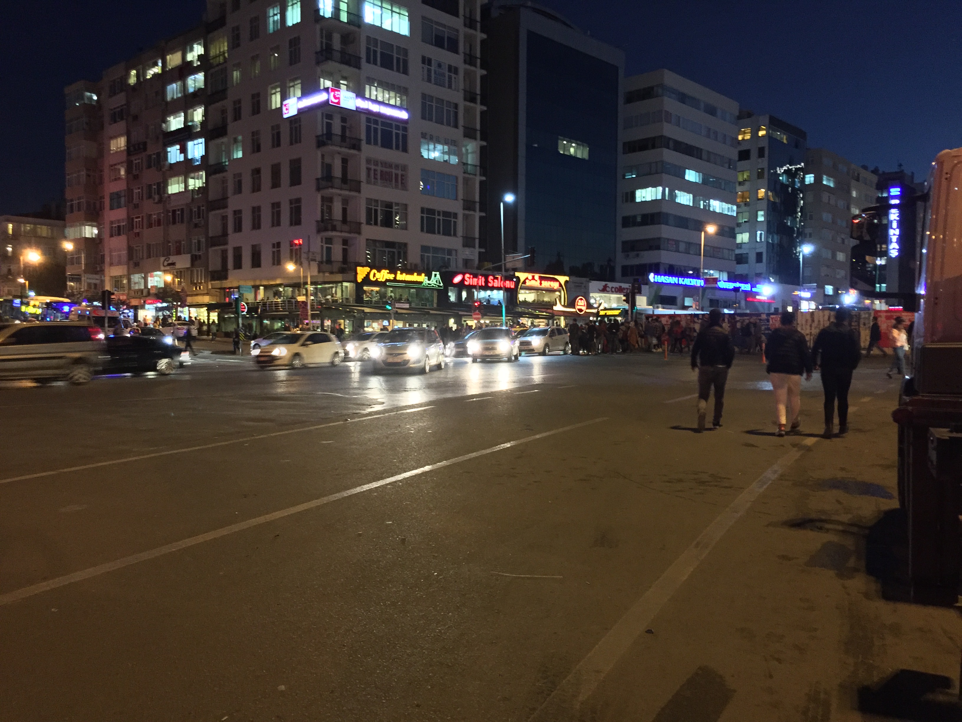
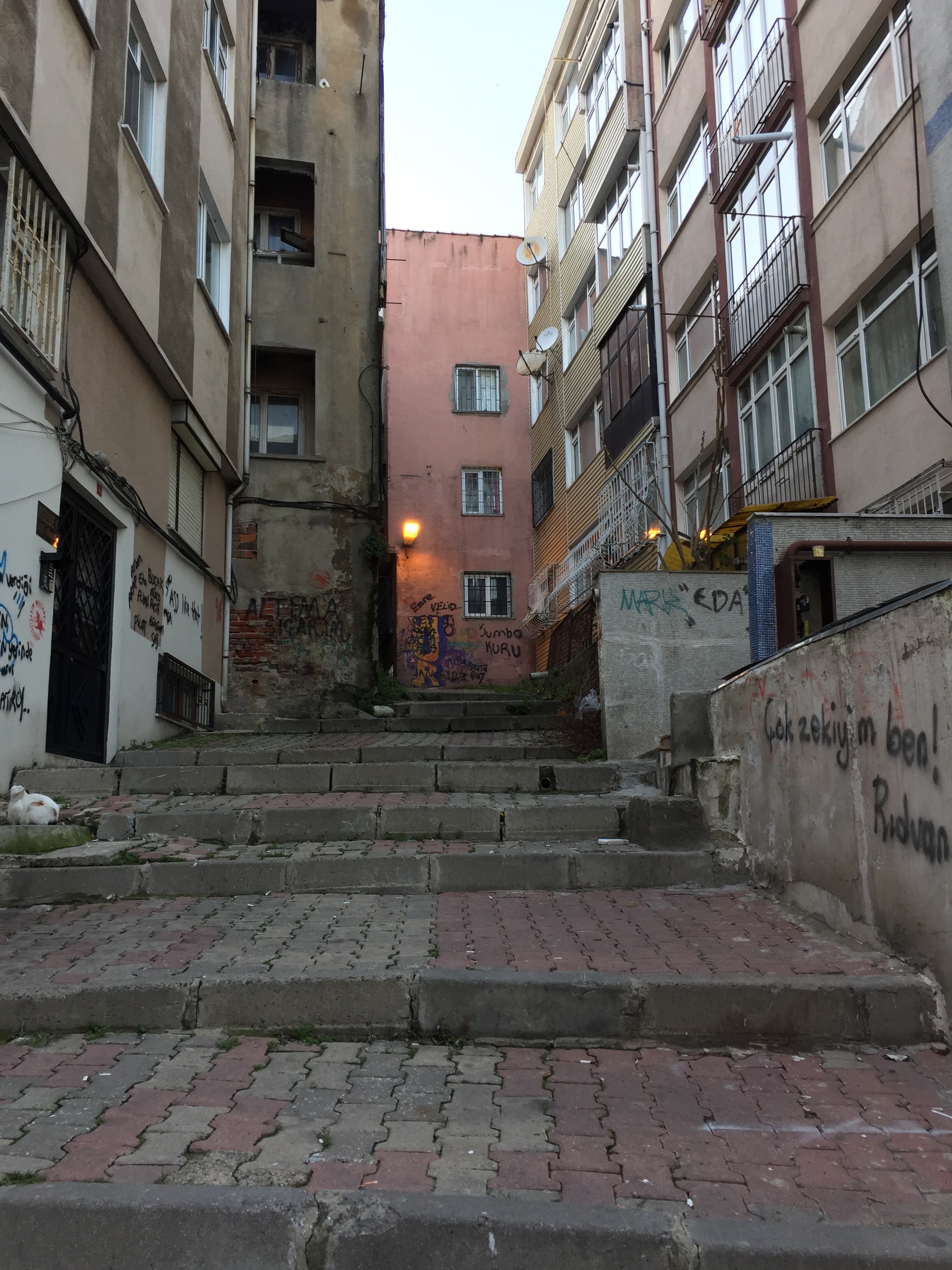
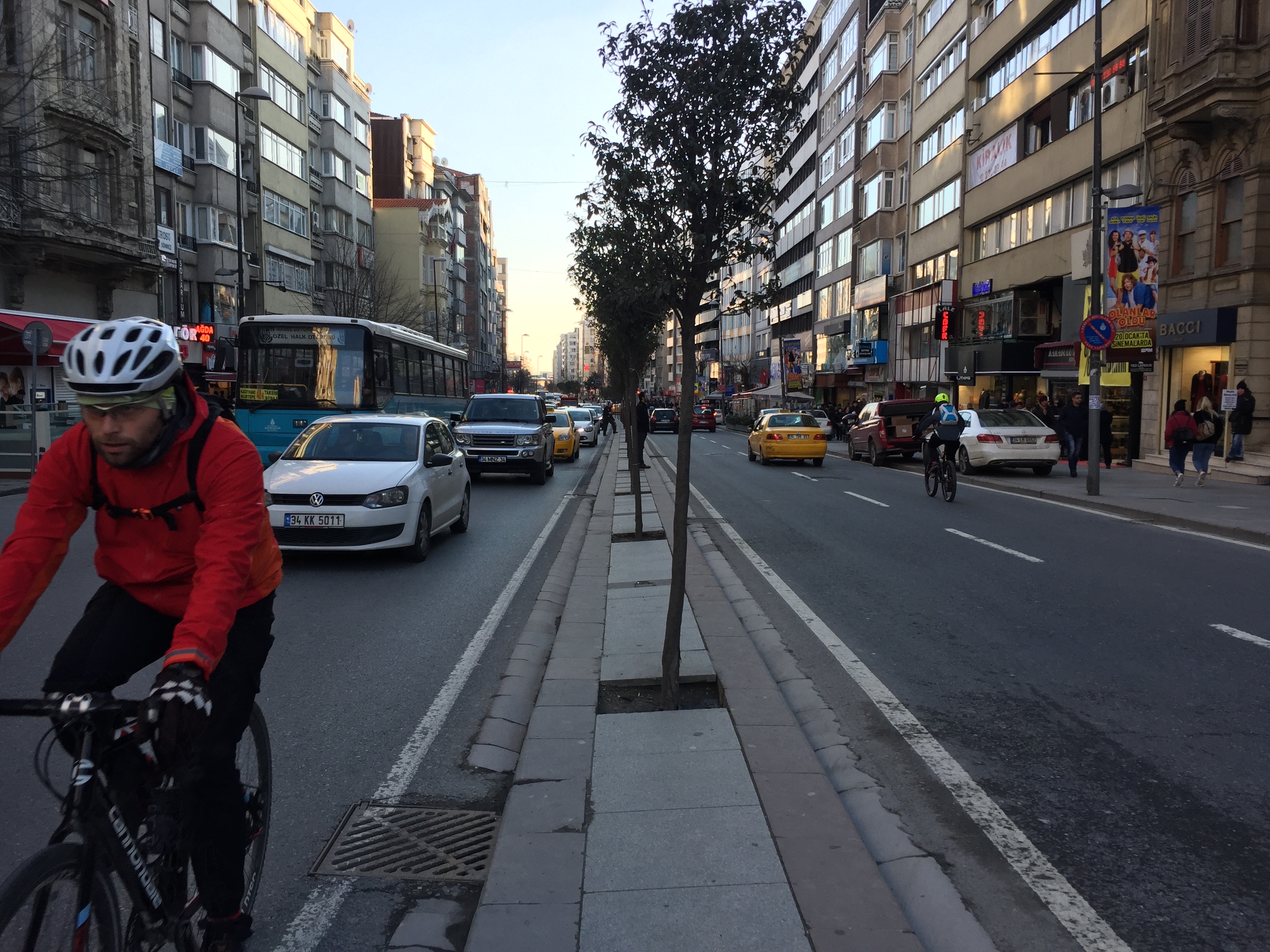
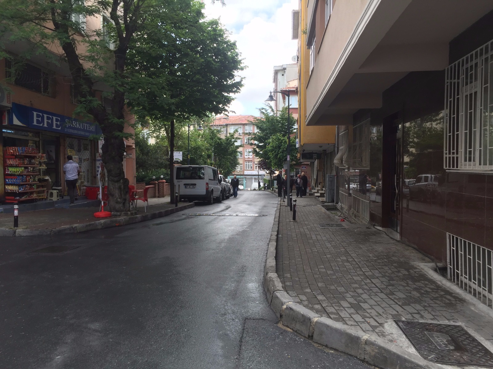
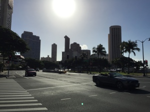
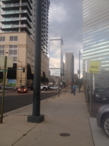
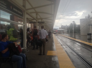
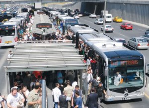
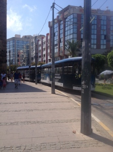
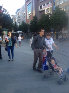
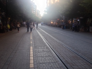
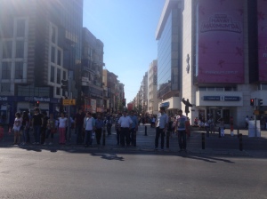
This brings us up to my time in İstanbul, which happened at a perfect time in my life for me to really enjoy it. İstanbul is far from perfect, but it is a walking city. In American cities, you’d be lucky if the city center had a 10% walking rate, İstanbul’s metropolitan walking rate is nearly 50%. Everybody walks. As I’ve been somewhat round for a long time, I’ve always been trying to lose weight, and I have a love of exploring new places, so I quickly found places I like to walk, like the ridge-road Halaskargazi Avenue, running from my new home in Mecidiyeköy to Taksim Square. I found many other places I like walking, or need to walk to frequently, and of course many variants off the main courses. I have had weeks where I average ~23,000 steps per day, and I have had days where I have taken up to 38,000 steps in one day (~20 miles). In my neighborhood, it’s often faster to walk than to take any form of motorized transit. I have sat in cars that took 60 minutes to go 2 miles, which I can easily walk in 30 many times around my neighborhood. I’ve been in cars that took 60 minutes to go 1 mile. Also, İstanbul is so dense, and tightly woven that it is just more fun to walk, you get to see so much on the streets here. There’s hardly a straight street in the city, so walks are full of terminating vistas, corners, intriguing randomness, color, life. There’s never a dull moment walking around the central municipalities of İstanbul. 

Common Walking Paths – Sık sık yürüyüşlerim
Roads all curve, providing an ever changing streetscape – her yol eğiyor, sürekli değişiyor bir sokak manzara veriyor.
Even the biggest roads constantly curve – Bile büyükyolları eğiyor her zaman

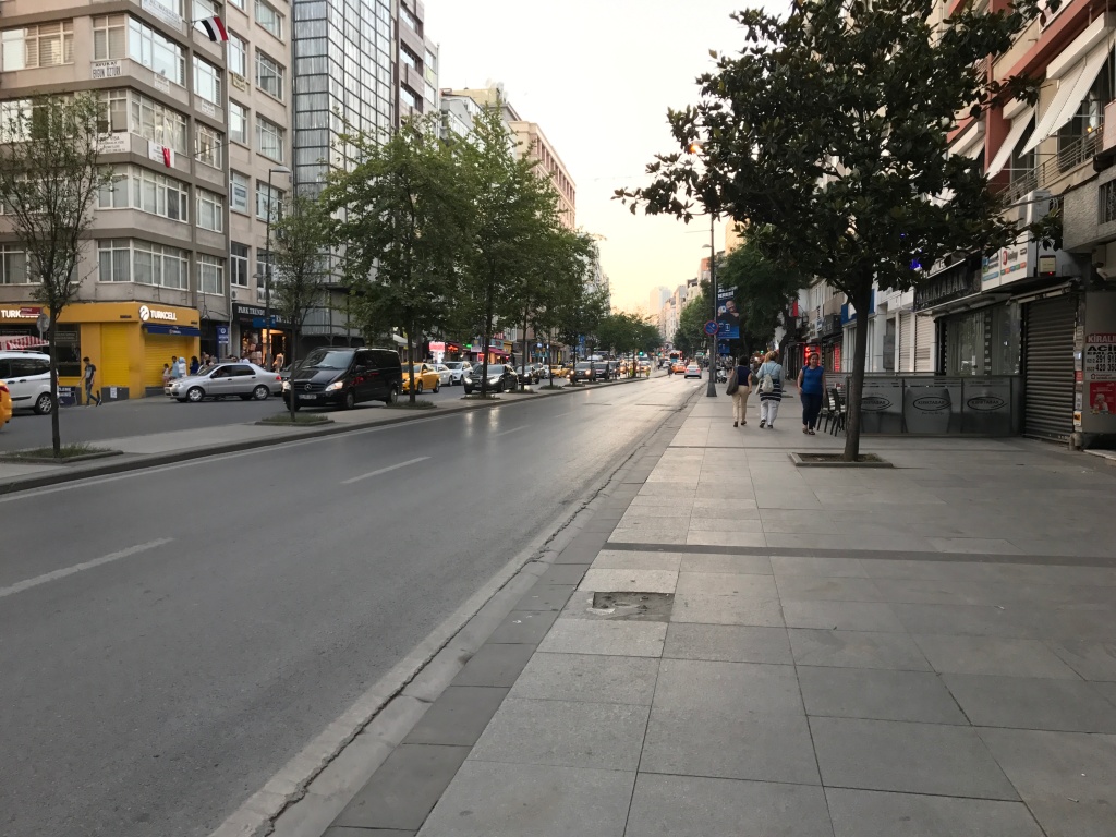
Bu İstanbul’da Dönemim’e kadar getirdik. Bu benim hayatta mükemmel bir nokta oldu. İstanbul çok sorunları var, ama bu bir yürüyebilir şehir. Amerikan Şehirlerde – güzel bir şehir merkezde yürüyürek oranı en yüksek %10. İstanbul tüm büyükşehirde yürüyüş oranı nerdeyse %50, gerçekten herkes yürüyor. Ben uzun zamandır tombul oldum, ve her zaman kilo vermem çalışıyordum. Ayrıca ben yeni yerler keşfetmem seviyorum – ben çabuk güzel yürüyüş rotalarım buldum, Halaskargazi Caddesi gibi. Çok daha rotalar buldum, ve ana rotalardan çok sapmalar buldum. İstanbulda bazen haftalarda günlük ortalama adım sayısı 23.000 oldu, ve tek günlük adım sayısı 38.000 adım a kadar çıktı. Semtimde sık sık motorlu araçtan yürümek çok daha hızlı. Ben araçlardaydım ki 60dk içinde sadece 3km geçti (bu ben rahat rahat 30dk içinde yürüyebilirim), ve ben araçlardaydım ki 60dk içinde 1,6km geçtim. Ayrıca İstanbul o kadar kalabalık, ve o hersey çok yakın ki yürüyerek çok daha eğlenceli, nerdeyse her zaman. Çok daha fazla görebilir sokaklarımızda. tek düz bir cadde nerdeyse yok burada – yürüyüşler Sonlandırıyor manzaralar, köşeler, güzel rastgelelik, renkler ve hayat dolu. Tek sıkılıyor bir anı yok İstanbul’un merkez ilçelerde yürüyorken.

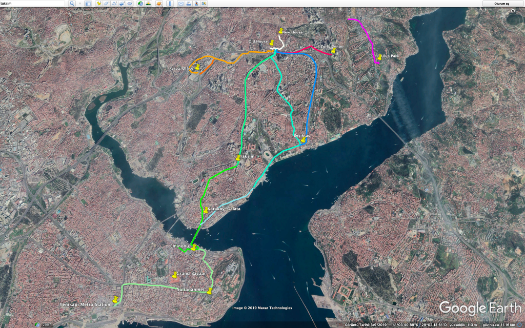
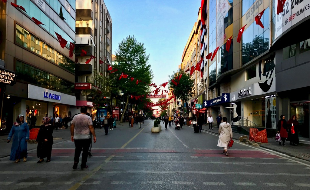
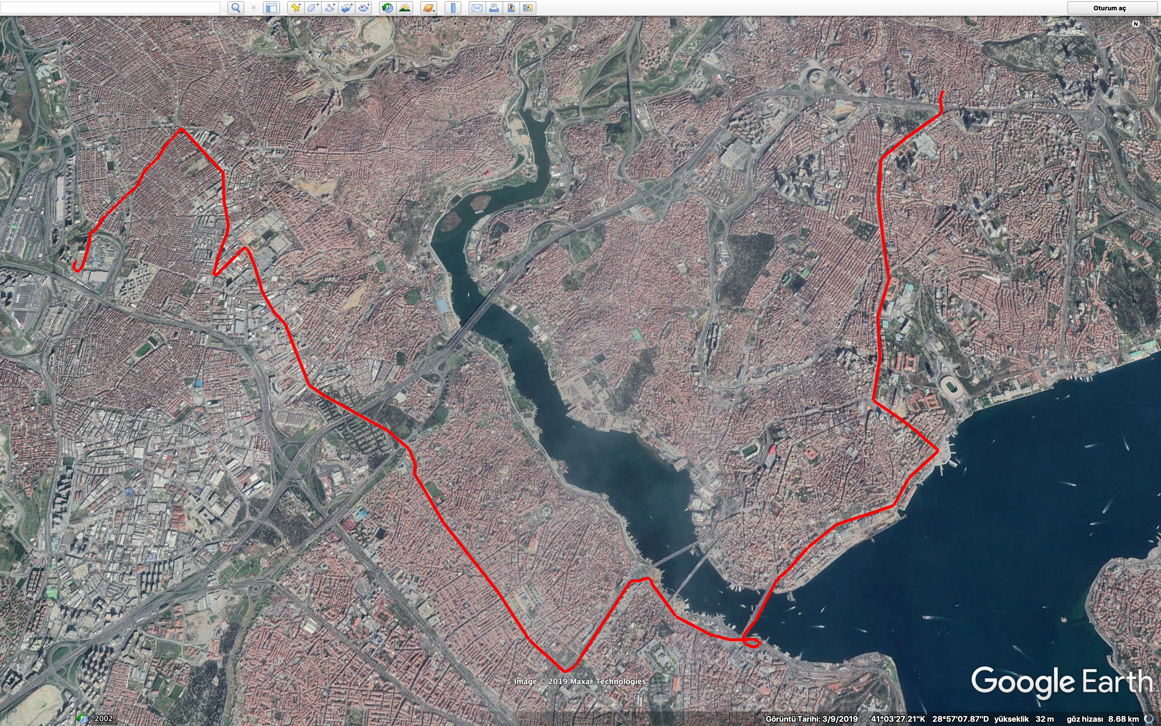
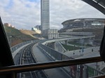
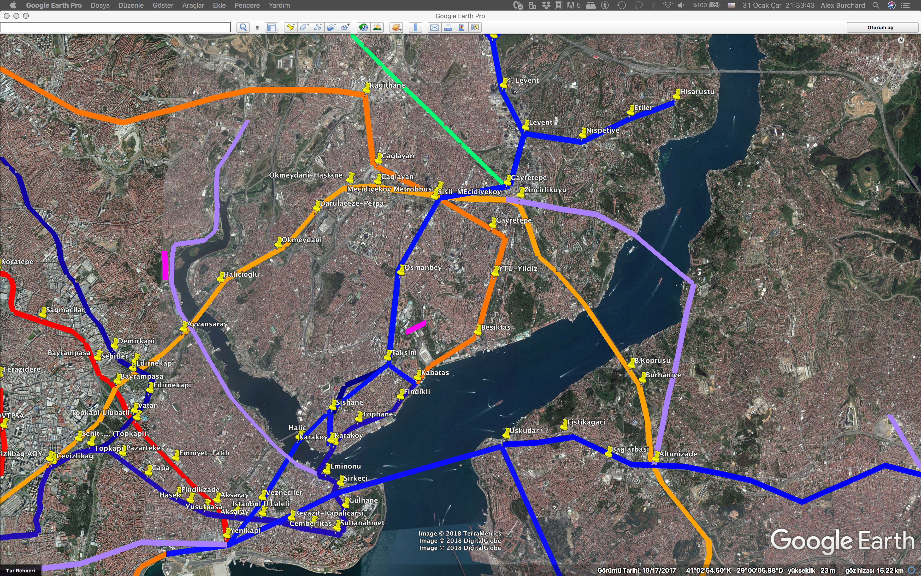
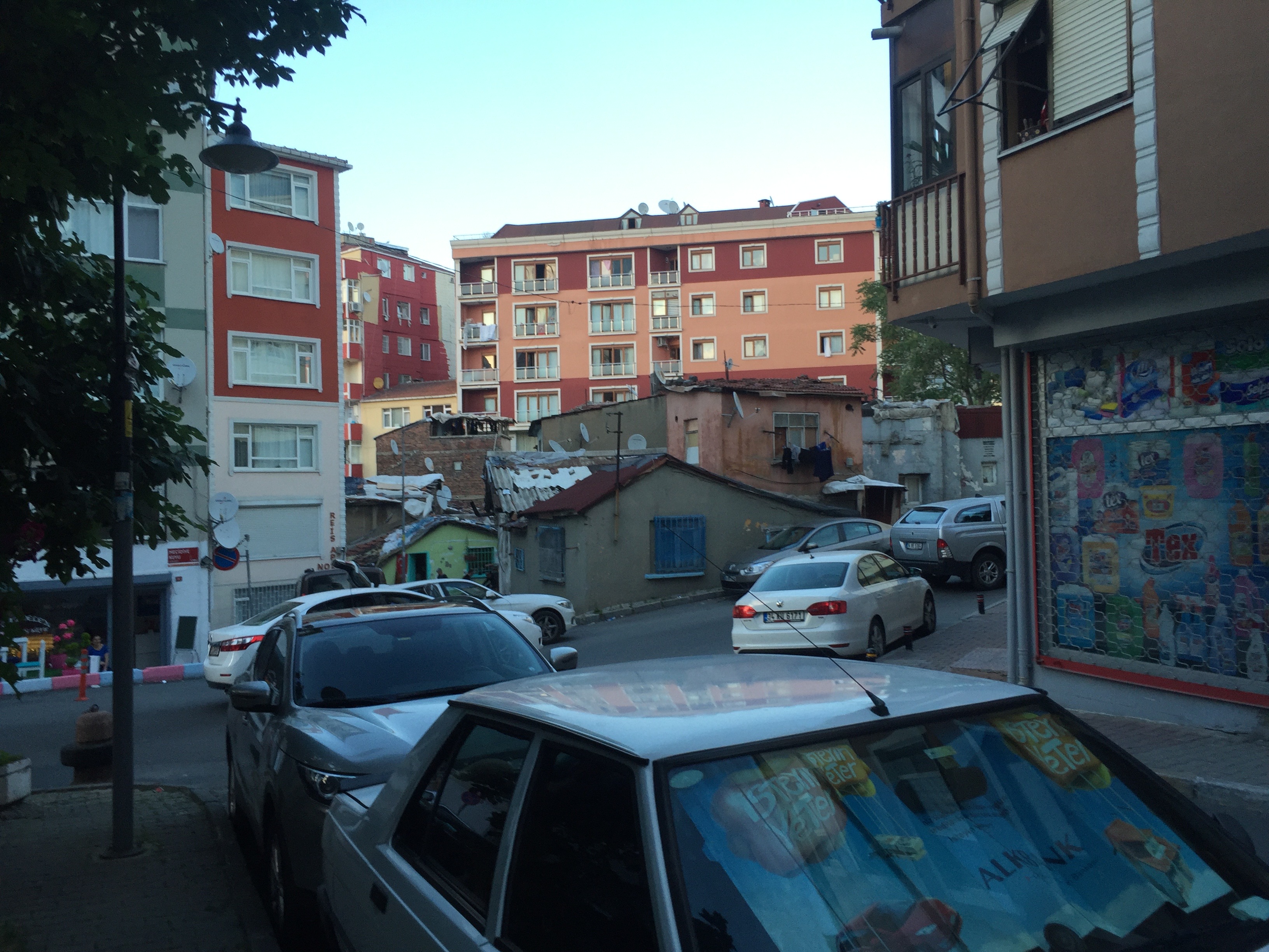
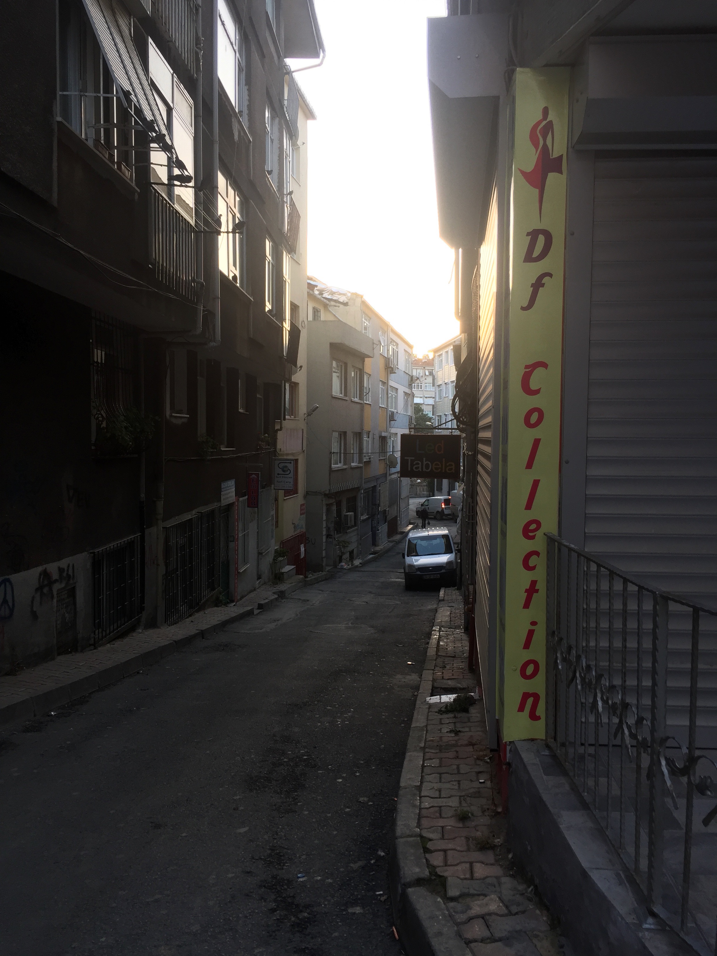
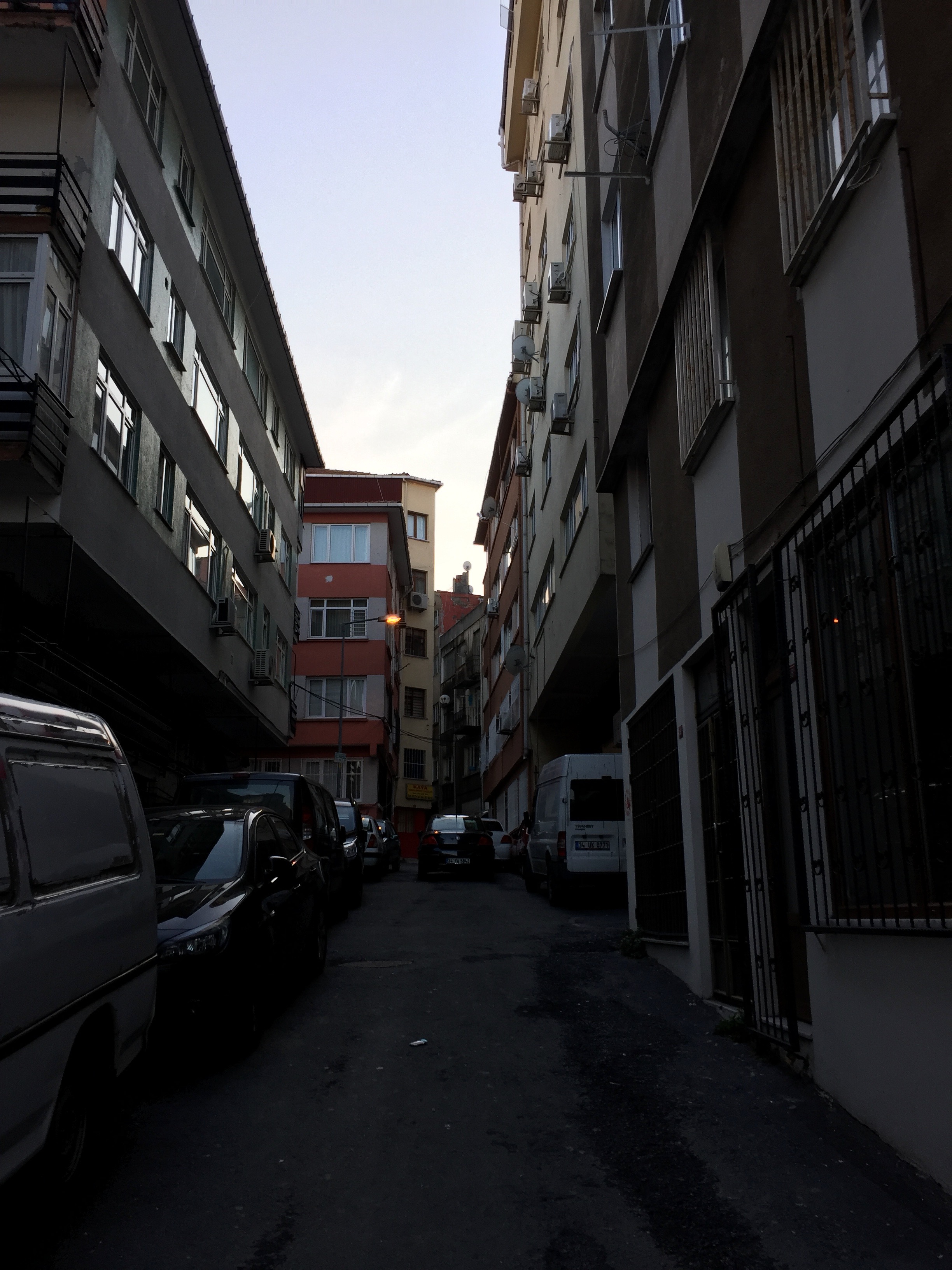
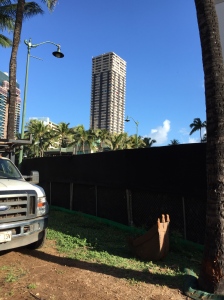
My love for walking has however taken me walking into the more boring parts of İstanbul, but also some parts that surprised me in how not boring they are. One evening I attended an FLL event in Kayışdağı on the Asian side, and needed to go to Ümraniye – Mehmet Akif Mahallesi afterwards, a distance of about 6km. For this I actually wanted to take the bus, but it took like 4 busses and 1:15 to bus it, and I walk about 6km/hr, so walking was faster in this odd case, and that’s what I did. I have always heard people hating on Ümraniye so I had pretty low expectations for this walk, however I was pleasantly surprised by a pretty cool urban fabric. It was night time, so being a new place for me I was a little more unsettled than I usually would be just because I didn’t know the area, but it ended up being a pretty neat walk. Another – less interesting, but also nice long walk starting in a different part of Ümraniye – at Yamanevler, I walked to Sancaktepe/Madenler, and half of that on the main avenue was nice – though a little bleak city, and the other half was walled skyscraper-complexes, with absolutely bleak, concrete wall sided streets – and that just wasn’t super fun, but the whole experience was different and fun. Now days the metro runs almost to that friend’s house, so I only walk about 12 minutes, on much nicer streets (though still walled off skyscraper complexes) to their house.

Yamanevler and Kayışdağı Walks Yamanevler ve Kayışdağı yürüyüşler
Power Line boulevard in Ümraniye, an interesting undulating roadway. Hatboyu Bulvarı – Ümraniye’de. İniyor biniyor çok ilginç.
A very bleak walled off roadway in the walled skyscraper suburbs – Kasvetli bir duvarlı yolu, Duvarlı gökdelenli kenar mahallelerde.
A little nicer walled road, but still boring. – Biraz daha iyi bir duvarlı yolu, ama hâla çok güzel değil

Ama yürüyüş sevgilim daha sıkılıyor bölgelerde beni getirdi, ama bazen bölgeler beni şaşırtım ki oralarda beklentimden daha güzel oldu. Bir akşam bir FLL etkinliğe katıldım Kayışdağ’da bir üniversitesinde. Ondan sonra Ümraniye’nin Mehmet Akif Mah.’ye gitmek zorundaydım (6km gibi). Otobüsler’e baktım – o 4 otobüsle 1:15 saatle beni taşınabilirdi – o saçma çünkü ben 1 saate yürüyebilir. O zaman yürüdüm. Beklentilerim bu yürüyüşten yüksek değil, ama şaşırdım. Çoğunlu güzel, renkli, canlı bir yürüyüş oldu. Ben biraz rahatsız ettim çünkü gece saatlerde yürüyordum ve yeni bir yer ben için, tanımadım o yere. Ama güzel bir yürüyüş oldu. Başka, biraz daha sıkılıyor ama ilginç bir yürüyüş yakın yerlerde yaptım. Yamanevler Metro’dan, Sancaktepe-Madenler’e kadar yürüdüm. Yarısı güzel oldu – O semtin ana caddesinde yürüdüm çok (Alemdağ Caddesi) – ama biraz daha kasvetli – sonra sanayı ve duvarlı gökdelen bölgelerden geçtim – o yerler çok çırkın, sıkılıyor, kasvetli. O yerler çok eğlenceli değil, ama tüm yürüyüş güzel, ilginç geçti – biraz farklı bir tecrübe oldu. Bu günlerde metro Sancaktepe’ye kadar gidiyor sadece 12dk gibi (2km gibi) yürüyorum arkadaşımın eve (ama hâla bir duvarlı gökdelen bölgede yürüyorum orada 😦 ).

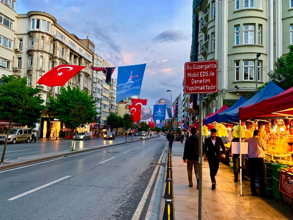
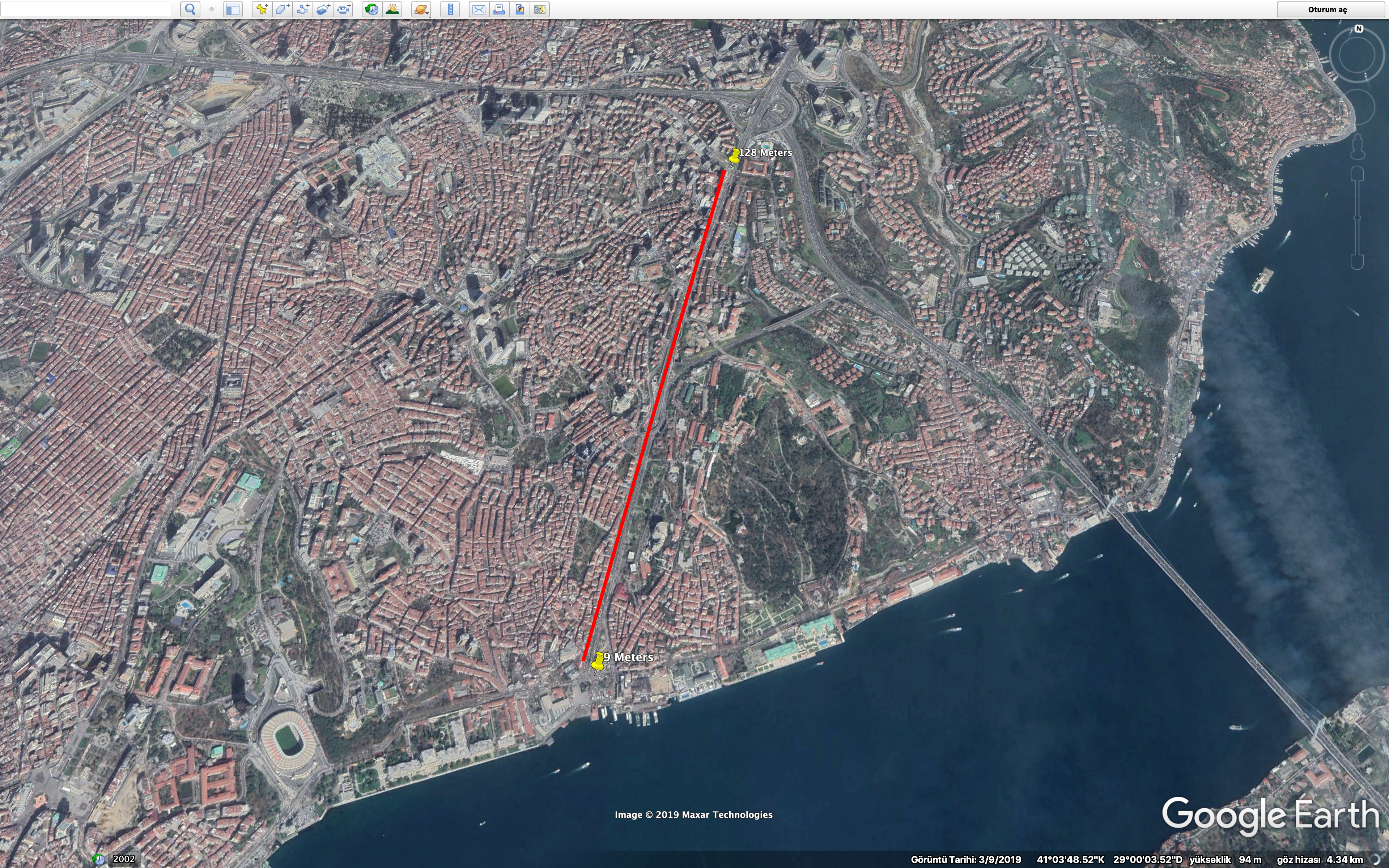
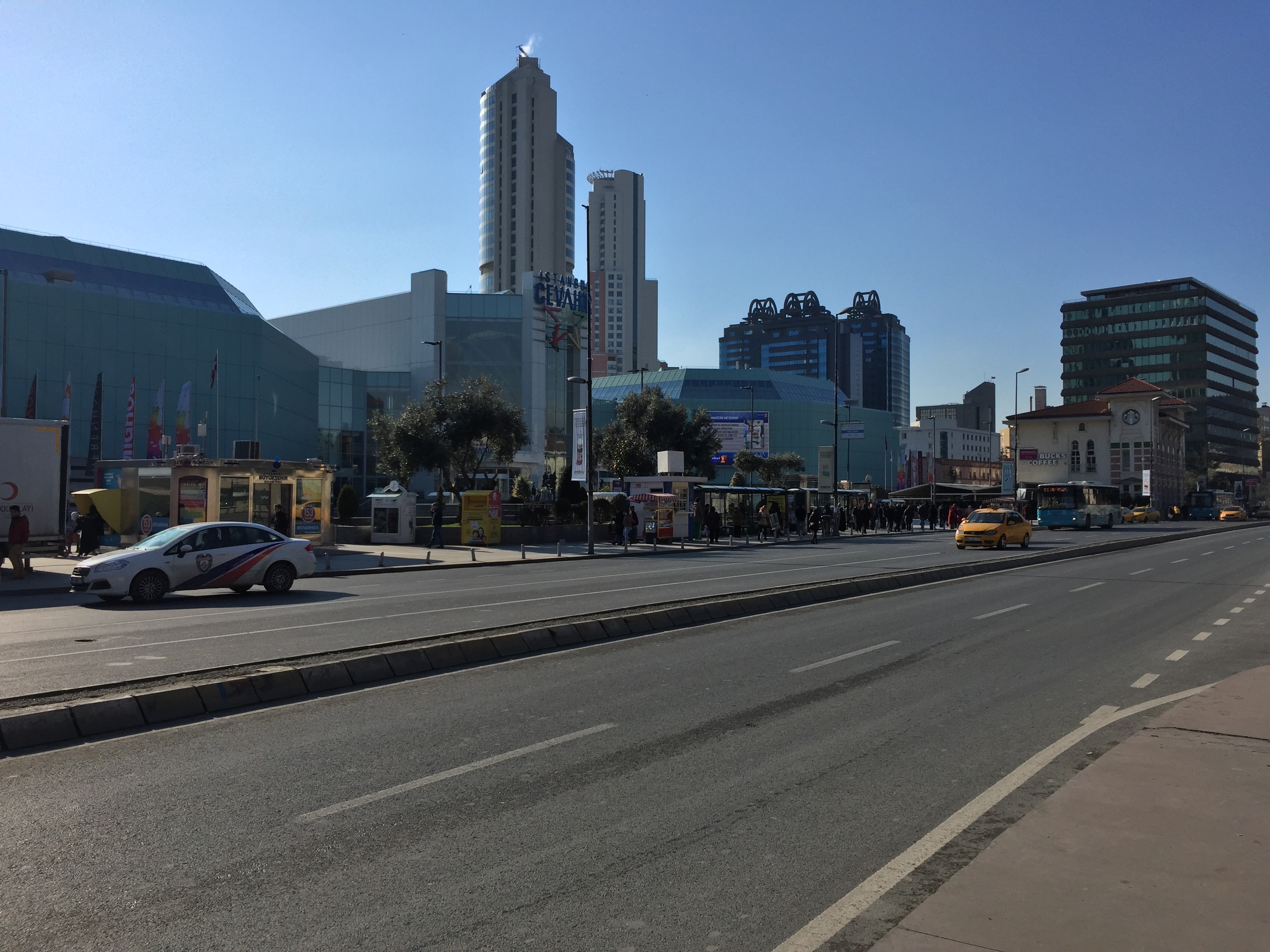
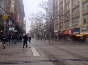
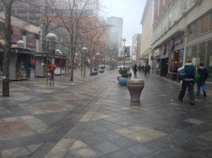
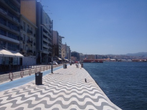
Today I often walk to Beşiktaş for the ferry, or Sultanahmet for fun, or to my office in Perpa. This past year I started going to the gym and this significantly lowered the amount of walking I do – as I work off a lot more weight (but also am more tired) at the gym than just walking around town. I try to make it to Sultanahmet area once every month or two, as that walk is just one of the best urban walks ever, but I don’t always have enough time to do it as often as I’d like.

The Hagia Sophia on Sultanahmet Square – Sultanahmet meydanında Aya Sofya
The view from Süleymaniye Mosque Complex – Süleymaniye Cami’den Manzara
A pedestrian street in Eminönü – Eminönü’de yaya yolu.
The Blue Mosque – Sultanahmet Cami

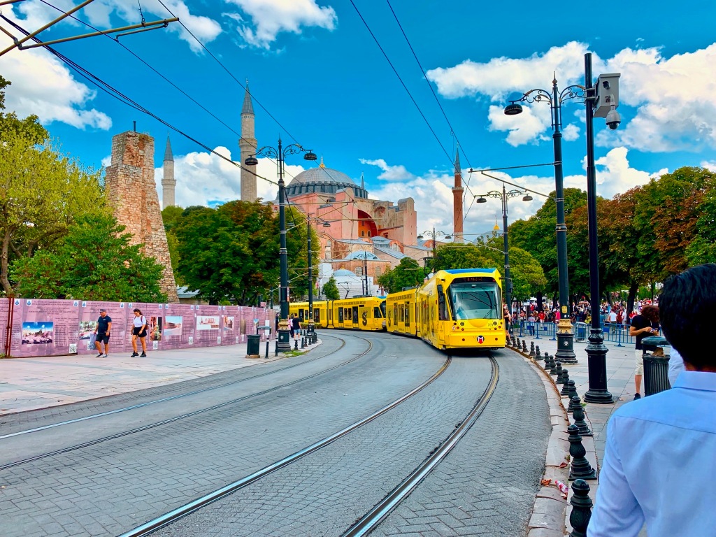
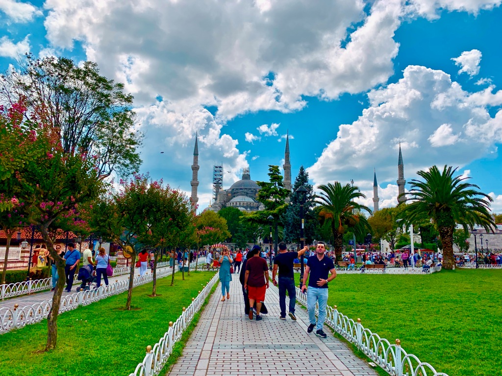
Şu anda sık sık Beşiktaş’a kadar yürüyorum vapur için, ya da Sultanahmet meydana kadar eğlenceli için yürüyorum, ya da Perpa Ofisim’e yürüyorum. Bu son senemde Spor salonda başlattım ve dışarıda yürüyüşlerim çok azaldı. Spor salonda çok daha kilo veriyorum, ama çok yoruluyorum. Hâla Sultanahmet’a kadar her 1-2 ayda bir kere deniyorum – o şehircilik yürüyüş olarak Dünyanın en güzelden birisi. Ama yeterli zaman ayarlamıyorum maalesef.

Walking is a ton of fun – I highly highly recommend going out and exploring your home by foot. You see new shops, new restaurants, new parks, and the gorgeous tapestry of the city this way. You also get good exercise in, and at least for me, I feel a lot better about myself when I walk. If I’m having a bad week I go for a walk, and afterwards I feel way better. So – Take a Walk.

Çok eğlenceli bir şey – Yürüyor! Çok tavsiye ederim – dışarıya çık, memleketin keşfedin ayakta. Yeni mağazalar, lokantalar, parkılar, ve şehrinizin güzel goblen görüyorsunuz bu şekilde! Ayrıca spor olarak iyi bir şey, ve akıl sağlığınız inanılmaz iyi bir şey . Ben için, yürüyorken kendime hakkında çok daha iyi hissetiyorum. Ben kötü bir gün/hafta yaşıyorken – dışarı çıkıyorum, yürüyorum, ve sonra çok daha iyi hissetiyorum gerçekten. Yani Git, Çık Dışarı, Yürü!

Sunset on Darülaceze Avenue – Darülaceze Caddesinde Gün Batımı
A rainy day on Independence Avenue – a Pedestrian street. Yaya yolu İstiklal Caddesinde Yağmur Yağıyor.
Flags, Color, Life – Halaskargazi Avenue – Bayraklar, Renkler, Hayat – Halaskargazi Caddesi
Pedestrianized Alemdağ Avenue – Yaya yolu Alemdağ Caddesi
Caravans may not pass Street – Mecidiyeköy. Kervan Geçmez Sk.

Cycling the streets of İstanbul

Lately I’ve been back on my bicycle here in İstanbul. I really enjoy cycling in general, and I’ve come to really enjoy cycling here in İstanbul more than I did in Chicago, despite there not being nearly as “nice” of places to cycle. Now I put nice in quotations – that is because technically, Chicago’s waterfront, and it’s bike lane system is pretty extensive, however, with the exception of the waterfront (99.9% of the time anyways), the bike lanes offered no actual protection from cars, were frequently blocked by them, and simply created a gap in expectations. Cars expected me to unconditionally stay in the bike lane, I expected cars to stay out of the bike lane, and no one lived up to each others’ expectations, and everyone was frustrated. Now it’s probably true that cycling in İstanbul isn’t for the feint of heart, however I’d argue that cycling in Chicago is worse, despite all the infrastructure – though the perception of İstanbul by most residents is far worse than Chicago. For my first two years in İstanbul, I was both afraid to buy a bike, and didn’t feel financially comfortable buying one – but more that I was afraid to ride a bike in traffic here. Traffic in the megacity is notoriously seemingly “lawless”, however, it is not without rules.

The day I bought my bike, I had no practical way to transport it home aside from simply riding the bike to my house, 19km away by the route I took. So cold Turkey (hahaha) I got on my bike and rode 19km almost entirely on major arteries.

The first day in traffic I rode more American style, holding my lane, staying in traffic when there was traffic, etc. Which worked really well, drivers seemed to respect me, I respected them, and we all got along surprisingly well. I knew the driving style here in İstanbul is crazy – but calculated for the most part. Drivers are much more attentive than I am used to, and despite Turks’ reputation for going into instant rages (and of course cooling off just as fast, which is the stranger part), There was 0 road rage directed at me. People had no issue with me taking up space on the road. In Chicago I had gotten used to people passing way unnecessarily close, throwing things out of their cars at me, trying to run me off the road by driving towards me, yelling at me, etc. None of that ever happens here in İstanbul. Occasionally someone is careless, or just overly aggressive and cuts me short to take a turn because they’re impatient, however I do not experience road rage directed at me in any way here, and the carelessness is less than it was in Chicago (I experienced an unbelievable amount of carelessness there, even on busy bike lanes where people should always always expect bicycles!)

To this day I peacefully ride back and forth from place to place. I no longer bike American style though, my biking style fits the driving style here, if there’s space, I take it. It works really well, I’m predictable, and I get places really fast. I stay as far to the right as is reasonably possible at all times and people do not pass too close 99.9% of the time. If there is space available at all to give me space, they give me space, unlike their American counterparts, who liked buzzing me to make a point that I “shouldn’t be on the road” – despite it being illegal to bike on the sidewalks in Chicago. In Chicago I took the middle of the lane almost always for my own safety, when you take a full lane, people do not try to buzz your elbow, in Turkey/Istanbul, that just doesn’t happen. People always give as much space as they can (which at times isn’t much, but at that point everyone is usually going slower, and it’s an understandable fact of a lack of roadway space, not some malicious intent). When people pass too close in İstanbul, they always slow down when doing so, so as to be as careful as they can. For such an aggressive driving culture, my ability to fit into the roads with so few problems has amazed me. I was initially terrified to try biking here, and to my great surprise and pleasure, I find it much easier and more comfortable biking here.

On another note – to my surprise, I found that biking in Amsterdam was exactly like İstanbul. the bikers there are more aggressive than the drivers in İstanbul, so when I took to the streets on a bike on a short vacation there a year ago, I felt right at home. It seems our ridiculous driving style more or less works for most people. (This is Bourne out in our traffic death statistics – where İstanbul looses 1-2/100K per year to traffic accidents, half to 1/4 of what Seattle or Chicago lose in a year (my hometown, and my university city – both around 5.5/100K deaths/yr).

There are many things I wish the city would do however to improve biking and walking. Below is a start (far from complete) of an idea for a bike lane and bike/pedestrian hill-easing plan I came up with for the city, noting elevation in m, blue being streets that would be nice to have separated cycling facilities, pink being assisted hillclimbs (escalators/elevators/funicular trains, for pedestrians and cyclists), red being often, very high up pedestrian bridges, with elevators and/or escalators/ to the valley floors they cross, green being tunnels, and yellow being existing funicular trains/cable cars that climb hills, or will be completed soon.

My proposed beginning of a pedestrian and cycling access plan

My second issue with riding a bike here was the hills. In Chicago the biggest hill I encountered on my bike was about 7m tall overpasses to cross freeways or other infrastructure. There were no significant elevation changes. In İstanbul on the other hand, it is not abnormal for me to have to climb 120m on my bike to get places, and that’s just not fun. It took me a year and a few beers to be able to climb Barbaros Boulevard.

Barbaros is 2.28 km long, and rises 120 meters. This is the most practical route from sea level to Mecidiyeköy, from any direction. It’s slope is not tremendously steep, however it is not easy. It requires me going into the lowest gear on my bike, and just pushing through a lot of pain to make it to the top. However, conquering that hill is quite the feeling. You tell anyone in İstanbul you climbed Barbaros on a bike and the looks you get – worth the pain 🙂 Also, it’s nice to be able to bike all the way wherever I’m going. Walking up the hill takes a lot longer and isn’t a lot less painful/tiring. Soon M7 will open under Barbaros however and remove the need for such exertions, also the Asiyan-Hisarustu Funicular line will help as well.

In summation – Biking here is surprisingly easy, and crazy fun. The lack of rigidity in traffic makes it much more fun to ride here than in the U.S., more predictable, and seemingly for me, safer. Inşallah, more hillclimbing assists will be built in the next few years though, both for pedestrians and cyclists. (busses here don’t generally have bike racks, that could also be a solution for hills, busses with racks, and free transport along steep hill routes – though outfitting 6000+ busses with racks would be no cheap feat.)

Good and Bad Transit Planning

I’ve been around the world a bit lately, seen different places, ridden different trains, and even just within my own city, İstanbul, lately, I’ve seen some interesting tidbits. There’s a lot that goes into making a big city work. Goods, people, utilities, services all have to be moved about the city quickly and efficiently. I tend to focus most of my time considering how people move about a city.

mkoy-and-downtown-in-snow
İstanbul

Recently I travelled to the Northern part of İstanbul because I wanted to try out the new line F3 (Funicular line 3, 3rd after the Tünel, and the Kabataş Funicular train lines). For starters, I though it was a monorail, because the Turkish word for monorail is ambiguous. In Turkish, usually monorails are referred to as HavaRay – or Air-train – which as it turns out, simply means elevated train. Anyways, I had gone to breakfast in Karaköy, walked back to Mecidiyeköy, and then took M2 up towards Sanayi Mah. and Vadi İstanbul, where F3 was located. To get to Vadi İstanbul from Mecidiyeköy you must take three trains. M2, M2-Seyrantepe, and F3. M2-Seyrantepe is a two-stop one-track line between Sanayi Mahallesi and Seyrantepe/TT Stadium. It comes every 9 minutes and has a journey time of about 2 minutes. From there one must walk out of the station across a plaza, and onto the platform for F3, another one-track, two-stop line that comes about every 9 minutes.

F3 goes from the top of a hill to the bottom of a valley, and thus is an elevated cable car, however, the experience of getting from anywhere of consequence to Vadi İstanbul by transit is not good. You have a minimum of two transfers, and a minimum journey time of 30 minutes (that’s to travel 5km). Contrast that to where I live, I can get from my apartment to the north end of town in 20 minutes, or to Fatih in 15. (~8-10 km in each direction) With no transfers. On top of all of this, F3 is, as cable cars tend to be, slow. So it’s 750m journey takes about 2,5 minutes. This in my mind is bad transit planning. I believe they should have planned this system far better, and extended M2Seyrantepe (M2S) out, on a viaduct over the valley, along side the freeway it runs beneath, and built an elevated station with high speed elevators to the valley floor. This may have been more expensive, but it would save ~13 minutes per journey for passengers. No transfer, no long wait for a second train, just M2S from Vadi İstanbul to Sanayi Mah. (or to the stadium if that’s where the person was actually trying to go). They could then also perhaps extend M2S to become its own independent line, serving points such as Alibeyköy’s satellite bus garage (intercity) on one side, with connections to M7, and T5, and on to Istinye Park Mall, Istinye, Tarabya, and Sariyer in the other direction, providing metro access to places with high traffic, but only busses stuck in traffic service today.

Ekran Resmi 2018-02-02 01.59.02
It could have been so much more useful…

Another issue with this set-up is the transfer at Seyrantepe. You must descend multiple stair sets, walk through a long tunnel, out of the station, out across a plaza, and then into another station and down some more stairs to transfer between F3 and M2S. Even this could be better, as the train lines could have at least met in the same building/station structure, rather than requiring a 5 minute walk between the two (and a confusing one at that as the signage is lacking and your orientation is hard to gather there). There are other good examples in İstanbul, such as the T1-F1 transfer, M2-F1 transfer, or the M1-M2-Marmaray transfer in Yenikapi. These were all sensibly built transfer stations that do not require excess walking to get between trains. It’s < 3 minutes between trains in these places. Personally, I frequently take 3 trains to get to Eminonu or Karakoy because the transfers are quick and easy, and I never really wait more than 3 minutes for any one vehicle on the line. M2 runs every 2-6 minutes, F2 is every 5, and T1 is every 30-240 seconds. Alternatively I could take one train, and walk like 10 minutes, but its just as easy and fast to take three trains due to good station/transfer design and train frequency.

There are some other terrible examples in this city of bad transfers – Uzuncayir-Unalan and Zincirlikuyu-Gayretepe, – where the stations are far enough apart to have separate names, yet they are probably in the top 5 transfer points in the entire city. (I’d assume that it goes something like: (Disclaimer, I do not know for sure, this is just my educated guess)

  1. Yenikapı (I don’t think I’ve ever seen less than a thousand people in any single one of my short walks through that station)
  2. Mecidiyeköy-Şişli/Mecidiyeköy
  3. Zincirlikuyu-Gayretepe

    metrobüs-0021
    Zincirlikuyu
  4. Zeytinburnu
  5. Uzuncayir-Ünalan
  6. Ayrilikcesmesi
  7. Topkapı
  8. Üsküdar(ferry-M5-marmaray)
  9. Eminönü (Ferry-T1)
  10. Kadiköy (ferry-M4)
  11. Şirinevler-Ataköy
  12. Sirkeci
  13. Taksim-Kabataş

    Mkoy MEtrobus.jpg
    Mecidiyeköy Metrobüs
  14. Edirnekapı-Şehitler
  15. Kirazlı
  16. Vatan-Topkapı/Ulubatlı
  17. Merter
  18. Levent
  19. Otogar
  20. Sanayi Mah.

Mecidiyeköy suffers from similar bad planning though the stations at least have the same name. It’s a 5 minute walk between stations. And to make that transfer better, while there used to be a tunnel from metrobüs to metro, now it is under construction so you must surface and deal with the maddening Merkez Cd. and Büyükdere Cd. Crossings, and woefully inadequate 15 meter wide sidewalks.

IMG_8301.jpg
Traffic on the sidewalk between Metro, Surface Busses, and Metrobüs in Mecidiyeköy

When I have to make some of these transfers, are some of the few times I miss Chicago. Train transfers there were so easy. The worst transfer in Chicago was either the Jackson Tunnel (because of the smell, not the distance) or the Clark Transfer because it was double the normal amount of stairs (from elevated to subway). Most transfers in the CTA system require you to simply exit your train, and wait for the next one on the same platform, and while, I understand why we need multiple platforms here in İstanbul, due to high train frequencies on every line, the platforms can be closer to each other, or adjacent even. There are a few places like this – Ataköy Şirinevler, you simply walk up, over half the freeway, and back down into the other station. Yenikapı is another good example, all the platforms are very near to each other, it’s a quick jaunt between the three train lines there.

IMG_2233
An easy transfer between 5 trains on the same platform in Chicago

Transfers are only one element though – though the one I most frequently experience stress with here in İstanbul. Thankfully most of the train lines run more often than every 5 minutes, so train waits aren’t long, but walks are. There is also train frequency, which is ridiculously high here in İstanbul, and every time I leave İstanbul, I am astonished at how long I have to wait for a train, even in other huge cities, like Chicago, Seattle, Rome, Frankfurt, etc. In İstanbul we’re absolutely spoiled by how frequently our trains show up, however, it’s because we need it – we actually need either longer trains or more frequent service to handle our passenger loads.

Line No. 2 4 Metro-büs 3 1 T1 T4
Length (km) 23,5 26,5 52 15,9 26,1 18,5 15,3
Stations 16 19 44 11 23 31 22
Train-cars 124 144 460 80 105 92 78
Train-sets (4 car metro, 3 or 2-car tram) 31 36 20 26 46 26
Journey Time (mins) 33 38,5 83 20 35 65 42
Hours 6:00-0:00 6:00-0:00 24 hour 6:00-0:00 6:00-0:00 6:00-0:00 6:00-0:00
Peak Frequency 02:45 03:53 00:14 06:40 02:30 00:45 05:00
Average Frequency 04:30 05:00 1 9 3/6 3 08:00
Daily Ridership 480.000 283.000 850.000 55.000 400.000 350.000 115.000

IMG_8292.jpg
Trains Frequently Arrive in İstanbul (Train in 2 and 5 minutes approaching)

Stop spacing is another issue, and this is another one I think İstanbul excels at. Stops are >1km, but < 2km apart normally. This means that coverage (the amount of people able to access the train line) is maximized, while also maximizing speed (every stop slows the line down by a minute). This has been really well done with one notable exception – Haliç Station, sitting on a bridge in the middle of a body of water.It requires a minimum 5 minute walk to anything (just to get off the bridge and across the large streets on either side). It’s a gorgeous view, but I sincerely believe that station should have been split into two – one on either side of the golden horn. This is something that Chicago spaced too tightly, Seattle too loosely, and İstanbul generally hits the sweet spot (It notably does this with its bus system too, which is a huge departure from American bus systems, that stop every block or two).

Ekran Resmi 2018-01-31 21.33.43 (2)
Metro Schematic

Ekran Resmi 2018-01-31 21.33.43
Metro Stops/Lines Geographic


Mecidiyeköy/İstanbul

Mecidiyeköy

So I’ve lived in three cities in my life. First city – Kent, Washington, a quiet but large suburb of Seattle, I’ve lived in neighborhoods with density ranging from 2000/sqmi to 10,000/sqmi. Second City – The Second City (Chicago, IL) where I lived in neighborhoods with density ranging from 11,000-50,000 people/sqmi. Third, and current city – Mecidiyeköy, Şişli, İstanbul, Turkey – a neighborhood with 113,000 people per square mile. İstanbul is a city with 15 million documented people (but if you ask people who live here they say many people aren’t counted and it’s closer to 17-18 million), with neighborhoods that have more than 200,000 people per square mile in places.

One might be led to believe that with so many people in so little space crime would run rampant, it would be noisy and dirty and a disaster. One would be dead wrong. İstanbul has a crime rate that puts the cities of the US to absolute shame. Murder rate in İstanbul? 1-2/100,000. Death by traffic? 1.5/100,000 Death by terrorism? .7/100,000. Add those up and you get the death by traffic rate alone of America’s safest big cities (for traffic). Alex, if there’s that many people, there must be tons of noise! Nope. I live downtown İstanbul, and Downtown Chicago was far noisier, with the freeway about 500 feet away, I could hear it perfectly, loud asshole motorcyclists at 2AM, sirens, loud people talking on the street at 2 am, all of it. In Mecidiyeköy I again find myself ~450 feet from an elevated 4×4 expressway. but I rarely hear sirens, I don’t even know the freeway exists until I’m under it, the motorcycles are only around in the daytime mostly, people rarely are loud on the street after 0:00, the only noise (which I’m hearing now as I write this at 1:23AM) at night is the garbage/cleaning trucks. Which brings me to cleanliness! The city is not dirty. There’s spots of untidiness here and there, but the city as a whole stays really clean (especially the public transport!). Cleaning crews go through the city constantly, shop owners sweep their sidewalks, the plants along the freeway are kept looking nice(actually, those plants are a work of art), etc.

Life is easy going here. The neighborhood is full of things to do and see. There’s three grocers on the next street, there’s small 7-11 like stores everywhere (that sell beer!), there’s a few super-grocers in walking distance (4 Migros locations, 2 Carrefour locations, 1 Namli). There are three malls within 1/2 mile of my apartment. There’s restaurants everywhere, hardware stores, etc. Plus, I chose this neighborhood because it’s on top of the subway and the Metrobüs. This is where almost every one of the main transportation arteries in the city cross(which actually makes it very difficult to access by car…). Barbaros Bulvarı comes up from the bosporus, Halaskargazi Caddesi comes in from Taksim, the D-100 carries people from Beylikdüzü (Western suburbs) to Gebze(Eastern Suburbs), as well as the Metrobüs from Kadıkoy to Beylikdüzü. Büyükdere Caddesi runs through the other neighborhoods that make up downtown İstanbul, and on up to the northern suburbs. And they’re building a new metro line from the bosporus to the northwestern suburbs and industrial areas. Anyways, due to the proximity of everything I walk to almost everything I do. I actually only take the subway when I’m in a gigantic hurry, or if I’m feeling exceptionally lazy. There’s more to see in a minute of walking here than in an hour back home in the U.S.

A little about İstanbul’s organizational structure: İstanbul is a metropolitan municipality, which means nothing to someone in the U.S. Basically, İstanbul is a merged city-state. The mayor of İstanbul is the highest elected official in the city-state. There is a governor who is appointed by the national government. This strange legal arrangement is why when you look up some statistics about İstanbul, there’s oddities – like the claim that Istanbul’s density is 6900/sqmi. (less than the city of Seattle). That is the provincial density, and does not represent in any way the density at which people actually live. The density of the ~350 populated square miles of İstanbul is 44,700/sqmi

Further down, the city is split up into districts – there are 39 of them that break up the city-state. My district (İlçe) is Şişli. These are administrative units that have local school boards, utilities departments, garbage men, etc. They act like the services part of a city government in the U.S., but they don’t seem to deal with infrastructure and other large things.

The smallest unit is the neighborhood, my district has 25 neighborhoods (Mahalle) and I live in Mecidiyeköy. These neighborhoods have a legal definition, boundaries, etc. They are not like neighborhoods in the U.S., where you can argue with your friends on wether Streeterville ends at Chicago Ave. or if it goes all the way to E. Lake Shore Drive, the borders of these neighborhoods are set because they provide minimal administrative services.

ekran-resmi-2017-02-23-04-03-53
The neighborhoods of Şişli

So when I give my address it includes this: Mecidiyeköy Mah. Şişli, İstanbul, 34. If I were to try to do something similar for where I lived in Chicago it would look like: Streeterville Neighborhood, Near North Side, Chicago, IL

The neighborhoods in my district are all ranging from 10,000/sq mile (large empty cemetery included in this) to 170,000 people/sqmi. Basically residential streets are 100K-150K/sq mile dense, and if the neighborhood includes a nonresidential function, it brings the neighborhood’s density down, but this is how we live. Very close together.

Given how close we live together, you’d imagine that it would be impossible to find a quiet place to relax in the city, right? Well, I’m here to say, there’s lots of quiet places in the city to relax. I know of quite a few tea houses that are never super busy, a couple parks with amazing views that are also quiet and pleasant. There’s a lot going on in this city, but if you’re willing to look, you can find whatever element you need. There’s also some gorgeous forests north of the city that you can walk into from the metro stations, and some gorgeous beaches along the black sea that I have visited! It’s really easy to get around the city, be it on busses (they go all over), or the subway.

gardens
Gardens on my street

sok
One of the entrances to a medium market

slums
The slums that coexist with normal housing in Mecidiyeköy

downtown-from-the-circle
Skyscrapers beyond the traffic circle

img_0236
Summer on Eski Osmanli Sokak

img_0234
Eski Osmali Sokak

kervan-gecmez-sk
Kervan Gecmez Sokak

meydangece
Mecidiyeköy square at night

ays%cc%a7egu%cc%88l-sk
Side Street

img_1878
Mecidiyeköy Plaza

gulbag-sk
The shopping road to Gulbag, Mecidiyeköy

ec%cc%a7osmalnlisk
Eski Osmanli Sk.

my-street
A side street by my apartment

mkoy-pano-from-ped-bridge
Panorama of Mecidiyeköy from the freeway

turk-bayrak-gokdelenleri
brightly lit skyscrapers in Mecidiyeköy

mkoy-metrobus
Rush hour at Mecidiyeköy Metrobüs

akmar
Produce Market in Mecidiyeköy

the-alley
Alleyway in Mecidiyeköy

the-back-street
Back Street

img_2490
Snow on the street with the markets

mkoy-plaza
Snow on Eski Osmanli Sk.

mkoy-and-downtown-in-snow
Mecidiyeköy and the rest of downtown

halaskargazi
Halaskargazi Cd, (Taksim-Mecidiyeköy road)

cevahir
Cevahir, world’s 9th largest mall, Mecidiyeköy

mkoy-muhtar-hut
The Muhtar Hut for Mecidiyeköy – The muhtar verifies addresses, and does other minor administrative work, he is the legal neighborhood chief.

myeskiosk
Eski Osmanli Sokak

tekel
Eski Osmanli Sokak

Christmas in Honolulu

Christmas in Honolulu

Screen Shot 2015-05-14 at 17.58.38

Map of Honolulu – Google Maps

 Honolulu is an ideal city for human powered movement. The majority of the city is shoved into a two-mile wide strip of flat land between the ocean and the mountains.

Screen Shot 2015-05-14 at 17.57.28

Illustration of how narrow Honolulu’s Core is – from Google Earth

The Island maxes out at about 50 miles wide, with most of the further parts of the island being relatively uninhabitable. This means that the majority of the livable land on Oahu is within a 20 mile bike ride of Downtown Honolulu. The most populated sections are all within about 10 miles. Honolulu also has nearly perfect weather. It’s sunny and above 70 most of the time, but also below about 85. All this being said, its astonishing they have not made a serious effort at making cycling work there.

Honolulu

 Illustration of where people live/work on Oahu/in Honolulu – from Google maps

There are very sporadic bike lanes in the city, despite it being largely flat and pleasant. What they do have in abundance however, is 6-lane wide boulevards. They exist about every 1/4 mile. (at least near Waikiki and Ala moana – Downtown as well). With roads that wide that often, you’d think they’d never have traffic, and you’d be wrong. My dad and I biked from the airport on one of our leisure days faster than it took the bus driver to get us from the airport to waikiki when we first arrived. it was pretty astonishing how slow traffic moves on the island. Part of the problem is that honolulu’s core is really is only 2 miles wide. This constricts all northwest/southeast traffic through the city to a handful of routes (H1, Beretainia/King, Kapiolani, and Alamoana/Nimitz) (so there are about 15 continuous lanes each direction on that axis, which is the main axis of travel for the island.) 

IMG_1110

Nimitz Highway – a 6 lane ‘expressway’ along Honolulu’s Waterfront

This city is also the absolutely ideal case for a rail transit line. Even for those who argue that rail is bad because it is fixed and can’t follow development, Honolulu makes the case for rail, because it is only 2 miles wide, you put a line down the middle of it, and development Cannot ever get more than a mile away even if it tries! Honolulu is building such a train line right now, but its incredible that it took them this long to get around to it. It is the only city I have been to that is less radial than Seattle or San Francisco or even Istanbul.

Screen Shot 2015-05-14 at 18.15.32

Honolulu’s rail transit project – from: http://www.honolulutransit.org/rail-system-guide/interactive-route-map.aspx

One of the problems with the city’s highways are that they all come to a bottleneck between the airport and downtown, where the only connection point is a 12 lane (each way) double decker highway/freeway that is absolutely ridiculous. 

Screen Shot 2015-05-14 at 18.18.44

The tangle at the edge of Downtown Honolulu – the city’s singular chokepoint – from Google Earth

This being said, it seems like the city would do extremely well for itself to both build the train line it is building, and to create a segregated bike-highway that goes the length of town down the middle, with connecting bike lanes perpendicular to it every 1/4 to 1/2 mile. 

Honolulu also suffers from a really messed up grid. it “has a grid” but the grid wobbles and wavers as if the person who drew it was completely drunk. There are many discontinuous streets, and confusing streets. There are also many canals through the city that they chose not to bridge frequently enough, making their already bad chokepoints worse. For example: Waikiki is separated from the city by the Ala Wai canal. There are three bridges across the canal, and they are all at the north west edge of Waikiki, to cross North/Northeast into the city you are forced to travel to either end of waikiki, you cannot simply cross in the middle. This both forces people to drive what should be a short walkable distance, and discourages walking because distances are magnified by a lack of access. Honolulu needs more bridges over its canals – Like the Chicago Loop – Bridges on every street.

 Screen Shot 2015-05-14 at 18.19.58my-brain-is-full-of-fuck

Do you even grid? – warped grids in Honolulu, from Google Earth

Jackie Chan taken from: http://www.funnyjunk.com/funny_pictures/73275/Jackie

The buildings (at least around Waikiki) Are well designed though, and I commend the city for that. They are designed just like in Istanbul – tiny stores in the bottom, towers above, if there’s parking you don’t see it. Excellent design.

IMG_1055

Small shops on the bottom floor – a minimal parking garage visible, beautiful sidewalk landscaping, and a tower above

And in the tourist parts of town, the sidewalks are wide and well adorned. However, wander into the locals’ parts of town, and this is not at all the case. There are also many All-way walk cycles along Waikiki, which are great, but!, they don’t let you cross when traffic in the direction you want to go in gets a green light, which was very confusing. You have to wait the 40-50 seconds for the all-way walk cycle, so in the end, you don’t end up saving any time with it – and its more superficial than useful. 

In general, the car culture in Honolulu is very ingrained, and it shows in the infrastructure. The main mall has 6 lane streets that begin/end inside its parking garages (Ala Moana Mall).

IMG_1243

Interstate Parking Garage – a 6 lane street ending in a parking garage at the Ala Moana Mall

The city’s downtown streets are incredibly wide, and hostile to pedestrians and cyclists. Sidewalks outside of Waikiki are not maintained well, and are narrow. 

The city’s architecture is quite gorgeous on the whole. There are lots of beautiful reflective glass towers, and lots of really plain residential skyscrapers that are beautiful in their efficiency.

IMG_1129

Glass skyscraper in HonoluluIMG_1146

Plain skyscraper in Honolulu

It also has more square buildings than I’ve ever seen in one place in my life – They must have some strange land use regulations that make squares more economically efficient in Honolulu, because they are usually pretty inefficient as a high-rise residential form. 

IMG_1040

A square residential Tower near Waikiki

I was also really surprised at how few people were out walking on the streets outside of Waikiki. Despite being in a dense city, the sidewalks were almost empty in the early evening. It was Christmas Holiday, but – in my experience, in Seattle and Chicago – that’s never stopped anyone from being out and about in the city – and both of those cities are much much less pleasant outside at that time of year.

 IMG_1013

Busy Waikiki around Christmastime  

Are Urban Passenger Rail Lines as Destructive as Freeways?

I very frequently consider the idea that perhaps building urban rail lines separates neighborhoods as much as the freeway does. It stems from me deciding I have to be honest with myself, and consider that maybe the rail line does the same thing the freeway does in this respect. My friend Ryan sent me an article, written by someone in Minneapolis who clearly hates their light rail, and is trying to find arguments against it. http://www.minnpost.com/community-voices/2014/10/superhighways-and-light-rail-antagonists-or-evil-twins

Each time I consider this idea, I think about the Northside Mainline in Chicago, 4 tracks, side by side, carving up the greatest neighborhoods in Chicago,

0

and all they do is provide shade to sit under, or protection from the rain under which you can wait for a bus.

Screen Shot 2014-10-24 at 23.30.24

Honestly, the Northside Mainline is the lifeblood of the city. It moves ~200,000 people per day in a 50 foot wide space.

Screen Shot 2014-10-24 at 23.21.39

In comparison to say, The Dan Ryan Expressway,

IMG_0541

 which moves about 300,000 people on a good day, and takes up 410 feet of space (500 if you count the frontage roads, and 470 if you subtract the red line out of the middle of it). On the low end, Lake Shore DriveNorth Ave Beach 3

moves about 200,000 people per day (counting all the passengers on busses ~60,000), and it does this in about 110 feet of space, torn out of the middle of a park… Lake Shore drive also does not have the safety features of most modern freeways, there are no shoulders, the lanes are very narrow, and the median barely exists. The typical modern freeway takes up about 250 feet of space, ballooning to around 400 at interchanges(off-ramps to city streets).CTA V Dan Ryan-01

Lake Shore drive is about the maximum width of space I’m willing to cross as wasteland. And frankly, I think I’m only willing to cross it because I am forced to every day because I happen to live East of the Drive. I really don’t like crossing it at all because even Lower Lake Shore is full of freeway-speed cars, and people who just don’t care to realize they’re on a city street.Screen Shot 2014-10-24 at 23.32.41

On the other hand, I’ve wandered in and out crossing the rail lines willy nilly with nary a thought of passing them. The only thought I have is; “oh cool! a train passing overhead!” None of the urban rail lines in Chicago have ever caused me to consider wether or not I would cross them to get somewhere. Especially not the subway lines, which have absolutely no impact on the ground plane. This feeling is not the same with the expressways. I’m very reluctant to cross the Dan Ryan Expressway, from IIT to Bridgeport. Walking across 500 feet of highway is just not appealing. That’s a full minute of walking where it seems like I am going absolutely nowhere, and it might be acceptable if there were things immediately on the other side, but no one in their right mind locates their establishment immediately adjacent to a 14+6 lane monster-freeway, so if we’re realistically talking about going somewhere on the other side, its two blocks of wasteland IIT campus within no attractions(except class…) a wasteland of wide freeway, and then another block or two of residential only until I get to something I might actually stop at (stores, restaurants, etc.).

Note how the green line through IIT's campus barely even registers on this image.
Note how the green line through IIT’s campus barely even registers on this image.

This means that in my 6 years of attending IIT I’ve crossed the Dan Ryan on foot about as many times as I have fingers. And lets be honest, I’m way more ambitious about walking places than your average citizen. Rail lines don’t create wastelands on either side of them. In fact, the busiest, best shopping corridors intersect rail lines. there are restaurants, bars, and shops built almost on top of the rail lines, things are built so close in fact, that on the occasion that one of them goes up in flames, the entire rail line gets shut down as a safety precaution. I actually took a ride from my friend Ryan, mostly because I didn’t feel like crossing the Dan Ryan on foot at Roosevelt. (The other part of that decision was that I didn’t want to get there far later than my peers, but both factored in).

Red was the path I would have walked, Blue/Green was the walking/driving path I took.

All of this is to say, that, for CTA rail, I don’t think it impacts the city in at all the same way a freeway does. Freeways completely disrupt the urban fabric, and divide neighborhoods horribly, and Urban Elevated and Subway lines do not. Now, Metra in the City of Chicago is a different story. Our regional rail system here in Chicago is built on embankments all over the city. These embankments form the lines between neighborhoods in many cases, and due to their construction as solid fill embankments, rather than the clear and open steel viaducts of the CTA, they do indeed form walls, however, they also tend to get no wider than 45-60 feet

Just ignore the Spactial....
Just ignore the Spactial….

(except near downtown where freight lines and multiple metra lines come together, but this mostly happens in industrial areas – and less so in legitimate residential/commercial neighborhoods). Metra lines due to their construction style do create a visual barrier in a neighborhood, and as metra doesn’t stop in the city mostly, they’re useless to city residents, and neither provide connectivity, or vibrancy. The metra lines operate far more like freeways in this sense, shuttling suburbanites past the city, and into the gleaming loop for work, turning their backs on the city as they travel through it. Despite their worse design, they still do not create the same level of obstruction as a freeway. I can think of many places where I cross metra lines without really thinking about it. It’s more like walking through a city-gate than crossing a street (if Metra is the City-Gate, and CTA is like crossing a street). They do not form obstacles to my biking through the city, or my walking through it.

Double Whammy Metra and CTA within 200 feet at my favorite Chicago Turkish Restaurant, Cafe Orchid

One freeway through the entire city(Elgin to Crete), takes up as much space as all 11 Metra lines and their branches!

The last form of urban rail – Light rail is also worth discussing, as this was the original subject of the article that prompted me to write down my thoughts. When I consider Seattle’s Light Rail, it was built in elevated sections

sea-lrt-testtrn-curve-on-viaduct-fr-blw-20070510_Mac-Photography

(which like the L, have no effect at all on the pedestrian experience/connectivity, in my opinion – in fact, they create a landmark that makes it easier to gauge progress along a street by). Some sections are a subway

3558227555_cb48f59a42_z

(Beacon Hill, Downtown, U-district), and this part has no effect on the pedestrian environment, except to provide a relief from being a pedestrian now and then, and offer a lightning fast ride from where you are to where you want to be, for almost no money. The third form it takes is the at-grade alignment, where it doubles with a street, or slips down an alleyway next to a transit way. These two conditions (Martin Luther King Jr. Way, and the SODO/E3 Busway) are interesting to discuss. The MLK segment took a wide road, and stretched its width, making it longer to cross on foot – though, at the same time, it added pedestrian islands in the middle of the street which made it easier to cross, even if it takes longer now.

front_rainier

The other thing the light rail did in this corridor, was to spur development. But, it didn’t just spur any kind of willy-nilly development. It spurred the kind of development that fronts the sidewalk, and doesn’t hide behind acres of parking. It spurred the kind of development that encourages you to walk to it, and window shop, and generally enjoy your time walking and shopping. I think this benefit, far outweighs any widening of the street to accommodate the rail line! Creating a pedestrian environment, by making a destination for pedestrians (a station) vastly improves the neighborhood for everyone, and ties it together far more than it tears it apart. This is where freeways and rail lines defer so much. The freeway creates a mass of noise, and hell and pollution that no one wants to go near with a 1000 foot pole, let alone walk around in. The rail line accommodates a quiet train that comes once in a while, and creates basically zero pollution. It ferries people to stations in great numbers, providing an audience for a lively retail and restaurant area. Freeway exits just encourage gas stations and strip malls, which further divide a neighborhood, enforcing that everyone must drive to be comfortable. It doesn’t matter in that neighborhood if they build sidewalks, because even on the sidewalk a pedestrian does not feel safe with traffic whizzing by at 45 mph. And fighting drivers who pull in and out of curb cuts without a second thought for the pedestrian simply makes the pedestrian arm himself with the same 2 ton metal cage everyone else has for protection! The case of the SODO busway is an interesting one as well, as this is a heavily industrial area, where few people would ever walk anyways, due to wide roads, and no points of interest.

sodo27

However, the rail authority included a bike/walking trail next to the rail line, and since the line is not in a street, it worsened no crossing distances. (it created a new crossing adjacent to the busway, but that was never a hard road to cross in the first place, it is hardly more than an alley).

Perhaps another example of how street-level light rail does not harm a neighborhood is the example of the N-Judah Muni-Metro Streetcar/LightRail/Subway line.

Cindy Chew 2/18/10 Muni

This line goes from San Francisco Station (Commuter Rail) through the financial district via the double decked Market St. Subway, and then takes off down Judah St. along Golden Gate Park and off to Ocean Beach. This line ferries passengers through dense housing areas on narrow streets to a myriad of restaurants and entertainment. The neighborhood is completely continuous across the line as it is on a street hardly wider than an alley. The streetcar/light rail/subway simply adds people to a vibrant and beautiful area of town.

So in conclusion, After considering a myriad of rail line types, and a myriad of freeway widths, my opinion is that rail lines have nowhere near the same divisive effect on an urban neighborhood as the freeways do. Rail lines add vibrancy, and sew together neighborhoods. Freeways destroy, pollute, and divide them horribly. I mean, when was the last time you crossed a freeway on foot and enjoyed it?!

Yeah, I totally want to walk/bike under that...
Yeah, I totally want to walk/bike under that…

Denver, Colorado

Denver is a neat city. I was able to visit my friend Kevin who lives in Golden on my drive back to Seattle. I arrived in Denver in the morning on a Friday while Kevin was still at work, so I drove to BelMar (an urbanist redevelopment of a dead shopping mall), and poked around for a few minutes. Belmar was pretty neat, but it honestly had too much parking. They only have one street corner where there is no parking visible, so really, outside that one corner, its way nicer than your average suburban strip mall,

IMG_0071

but it still needs work. I understand the need to have parking, but do what some buildings in Chicago does! Ring the block with retail on the ground, and build the parking in the middle of that, and build it up over it if you need to. Then the street is still pleasant. They did have a target built over a parking lot, so it sort of hid the parking, and that was nice. They also added a ton of multiunit housing complexes to the mix,

IMG_0059

which should help keep it much more vibrant, and contribute to a more consistent stream of people wandering around it. The development has a bus shuttle every hour to the nearest Light Rail station, which is slightly farther than I’d want to walk. After I was done putzing around BelMar, I drove out to Golden, parked at the Jefferson County (Jeffco) government center

IMG_8154,

and took the W into town. I proceeded to ride all but about 2 miles of the light rail system Denver has.

IMG_0091  IMG_0080

(I rode the E, D, and W lines which cover almost the entire system. (Denver has 6 light rail services on 3 lines and 2 branches).lightrailmap-2014

I only missed two stations, Dayton, and Nine Mile. I chose to walk back to downtown from the 30th And Downing Station, which was a nice walk. A Thunderstorm was approaching the city, and the reflections off the skyscrapers were absolutely amazing.

IMG_0120IMG_0111

The thunderstorm got into town a little before me though, so I hopped on the D line just outside the central loop, and took it to the 16th st. Free Mall Ride(free busses every couple minutes running between the rail lines and the capitol building). Later in the weekend, Kevin and I rode the W into town to hang out, have dinner, and go to a rockies game, except it got cancelled while we were in the stadium waiting for it to occur because the water main broke outside the stadium right around then. Denver as we both found out on our way back to the W, has a crazy cool underground bus terminal, that feels more like an airport. We discovered this Bus terminal because when we had come into town, I noticed people heading down this staircase on one side of union station (home of amtrak and 4 future commuter rail lines), and then I saw a staircase on the other side of the tracks, so when we came back, Kevin and I decided to test it out, and it indeed got us quickly under the train tracks, but also it took us through this bus terminal.

Denver in general seems like it is rolling in money. That’s really the impression that I got. Driving through town, you see overpasses that are decked out, and super wide, the highways are well maintained, and very numerous. Downtown has about 38 lanes in and out of it on freeways, and there are a pile of freeways that don’t touch downtown, going in every direction. And they’re all plenty wide, and seem to be expanding. Denver is building 1 more light rail line, extending 3, building 4 commuter train lines, and a BRT line by 2016/17. 

Fastracks

To put this in perspective relative to my world, Chicago has 7 urban rail lines, 13 commuter rail lines, and about 54 lanes going in and out of downtown on freeways. Seattle has 42 lanes in and out, 1 urban rail line, 2 commuter train lines, 2 new urban lines under construction, 1 being extended, and 2 streetcars, with a 3rd and an extension of the second in the works. Denver has 650,000 people in the city limits, and 2,600,000 in the region – Seattle has 651,000 people in the city limits, and 3,500,000 in the region, and Chicago has 2,700,000 in the city limits, and 9,000,000ish in the region. Denver has 115,000 downtown employees, Seattle has about 220,000 and Chicago has about 600,000. Denver is only 16 lanes and 10 commuter lines short of Chicago’s Level of Infrastructure, with 2/7 the population. (it has 2/3 the roads, and will have = urban rail, and 1/3 of the commuter rail in 2017) Really, I feel like I need to study this city and see how they’ve done things. I did notice that they opted for some interesting usability disadvantages with their light rail lines where if they had spent a little more money they could have done a little better, but in other ways they were way ahead of other places I’ve been (most stations have platforms on both sides of the train for at least one direction – which is crazy cool). I know they’ve done a lot of their light rail expansion in concert with freeway expansions, which I’m sure helps keep costs down (Chicago did similar things with the Kennedy, Eisenhower, and Dan Ryan Expressways, and hopefully will do the same with the Rebuild of N. LSD). The other thing Denver does that it could definitely improve on is how often it runs its trains. The trains only run about every 10-15 minutes at rush hour, 15-25 outside of rush hour, so that probably puts a serious damper on ridership, though despite that, the system still sees about 90,000 rides a day, which is quite a pile for such a relatively tiny city really.

Downtown Denver has this beautiful thing called the 16th street mall.

IMG_8138IMG_8136

It is a street where the only vehicles allowed are the free busses that shuttle people up and down the road from Union Station

IMG_0126

(CWE) to the Central loop of light rail lines (DFH) and then on to the capitol area. The entire street is lined with businesses, fast food, restaurants, shops, a couple urban malls, its like Michigan Avenue, if Michigan Avenue was not one of the busiest non-highway city streets I’ve ever seen. There’s tons of pedestrians, and you can pretty much cross the street without looking because its largely empty with busses running only about every 5 minutes. The pavement of the sidewalk melds into the street, with only the slightest curbs. There’s a median in the middle where (canopy)tents are set up and temporary shops exist. (It was neat watching how fast people packed those up though when a thunderstorm rolls in) Really its an enormously pleasant experience to wander up and down this street because there aren’t any cars, no fumes, just a pleasant walk through the skyscrapers, but skyscrapers that have a street-face, not like the skyscrapers of Streeterville for instance, that largely turn their backs to the streets. Sidewalks throughout downtown Denver were wide and easy to walk on, and I never saw a lot of cars, even when I was there at rush hour on a Friday evening (the freeways on the other hand, total disaster most of the day). At any rate, I was generally very impressed with how well put together the city seems. It’s building transit at a breakneck speed, and it’s got the bones to be a much much bigger city, which is good, because its right behind Seattle in its growth rate, adding thousands of people each year!     


If you noticed that three of the images used in this post had snow in them and thought, huh? I thought Alex was talking about being there in August, you’d be right to be curious. I’ve been to the Denver Area three times in the past year, twice to Golden to visit Sir Kevin, and once to Longmont to Visit Sir Logan who was there for the summer for an internship. My first visit was over spring break in March though – so there was snow! (just what I wanted coming from Chicago….)  

Traveling the cities of Turkey

The end of June and beginning of July I was in Turkey. My family and I went to Istanbul, Kalkan, Antalya, Ankara, Eskisehir, and Izmir. (Istanbul, Ankara, and Izmir being Turkey’s three largest cities, in that order) In Istanbul we didn’t have a car, and didn’t need one. Cabs aren’t outrageously expensive, so if you need to go without a bus, they are a feasible option, but mostly I got around on the busses and trains. on the first day I was there, I walked with my parents on the Sahil Yolu (The road that follows the Bosporus on the European side) for about 25 minutes, then I got in a cab to go the short distance up the hill to Haciosman Istasyonu. I rode the metro 735892_10151232539642798_133156164_o

to Mecidiyekoy, where I met my friend Ayse, and we got back on the metro and went to Halic (which is a station that is in the middle of a bridge over the golden horn)tn_tr-istanbul-m2-goldenhorn-bridge.

It made very little sense to me to have a train station in the middle of the waterway, I would have built two stations, one on either side a little set back from the water for the purpose of being actually useful to walk to somewhere from them, but I didn’t design it, so that’s ok. From there we walked to Eminonu and had some soft drinks before getting on the T1 (tram)_mg_3443

up the hill to near Aksaray. From there we walked along a very large and busy street to a little Cafe, where my friend Ayse had once worked, and where she met her boyfriend. We played Backgammon and checkers for a while before resuming our walk through the city. We wandered down the main street until we got to a small very busy street in an area that was pedestrianized. It was a really neat little area, there was a park a ways down the little street with every bench full of people. A nice water fountain in the middle. we bought a little cake thing and ate it, then walked back to the tram line on the major street we had been on, and took the tram to the metro bus line, which even on the sunday we were there ran a single-bendy bus every 20 seconds in both directionsmetrobus

(On weekdays they run double-bendies every 14 seconds). This bus took us straight back to the metro station that I had met her at, and we parted ways at the subway station737462_10151232539892798_842639984_o.

From there I took the metro to Darussafaka Station, and proceeded to walk about 2 miles down the hill to Istinye, which is a little waterfront village/district of Istanbul.

All of the trains we were on were very busy, despite it being Sunday. Istanbul is a large extremely dense city (the districts I was in are considerably denser than Manhattan in most cases). They were late to the game on building transit systems to move around the city. They’ve had busses and minibuses and cabs for a long time, but what they have not had before 2000 was a subway, (and their trams were built in the late 80’s). This very young subway now carries thousands upon thousands of people. The train cars are about 11 feet wide and have all aisle-facing seats, meaning when you’re on a crowded 8-car Istanbul Subway Train, you’re on a train with about 2400 other people. The trains have video-advertising in them, a line map that has lights indicating directionality and location, system maps near the doors, ample places to grab hold, and the train is articulated, meaning that there are no doors between cars for each 4-car train set. (meaning you can walk about 350 feet unimpeded from one end of the train to the other). Each car has 4 doors, and the doors are almost as wide as most airport subway automated train doors(abnormally wide due to constant crush-loads needing to disembark, and embark quickly). The tram is more like a cross between a Seattle Light Rail car and a CTA L Car. It has the capacity of the L, with the built-car-style of the Link Light Rail (and all the squeaking and bumping that comes with the L). It (400,000/day) however carries 1.5 times as many people as the busiest L line(250,000/day – red) and over less distance. On Sunday, the trains were total crush load, one after another (running about every 1-2 minutes). Mind, they can only run 2-car train sets on this line(equivalent to a 2-Car Seattle Trainset, or a 4-car Chicago Trainset), meaning they have to have them coming one after another to handle demand. The line has a few break points (places where service ends mid-line in order to heavily serve high demand corridors). When we rode the first train the passengers turned over about 2.5 times over about 1.5 miles. (turning over meaning that the train did the equivalent of filling up and emptying 2.5 times). The tram line reminded me of Muni Metro in San Francisco, just with a million more rail cars and people. The bus line is in the middle of the D100 expressway and runs busses at insane frequencies to handle its normal 750,000/day. This is perhaps one of the best candidate locations for a legitimate subway I’ve ever seen in my life. The corridor usage on this line is absolutely insane. Mind, the line is about 50 miles long, and broken into multiple pieces, but, that’s 15,000 people per mile still, which is absolutely insane. For perspective, Seattle’s busiest transit line carries around 4000/mile. Chicago’s Busiest carries about 10,000/mile.  Not to mention, fares are only like $.75-1.50 (though, there doesn’t seem to be free transfer credit in Istanbul…

The downsides: The design of all the systems are not ideal. Istanbul gets so many riders because it is just such an insanely dense place. Had they designed it better, they would probably have 1.5 times as many people riding it I think. I’ll start with the Metro (subway). The Metro’s stations are absolute labyrinths. The stations are 50-100 feet underground740282_10151231752222798_850951043_o,

and they make you run a maze of escalators and stairs to get down to the platform. The five minute walk shed from the train is literally the top of the stairs out of the station in many cases. The signage is good to get you around them, but they are just too big, and too deep. Then there’s the placement of the Halic station on the Golden Horn Metro Bridge. The station is placed in the middle of the bridge, such that the 8 minute walk shed is simply land from that stop. there is very little in the 10 minute walk from the train and the 15 is where it finally starts to see some utility.  The Tram: The tram’s platforms are too short. they need to be double long so that longer trains can be run. It would lower operating costs and significantly boost capacity, which the line honestly seems a bit constrained by. This line could use subway service, not tram service. The pinpoint stations (where trains turn back mid line) need more platforms because currently they dump people out onto the opposing track at times due to A) Being over capacity, and B) Needing to quickly empty to get out of the way of the next train. These stations are also in the center of what at times is a 4 lane in each direction boulevard that is a nightmare to cross on foot. taking a lane of cars away just for the sake of getting rid of it wouldn’t go amiss here. Widen the sidewalk, or the platforms, or both, add a bike lane? (never going to happen in Istanbul though…) Do something else with the space, there’s too many cars to try to dodge to get to and from the stations. And lastly the busses, and I really can only say, this needs to be converted to 12-car subway trains. (cap 3600 ppl/train). The sheer volume of people riding along this line is astounding and it needs a capacity upgrade, and lower operating costs. they could redeploy those busses all over Istanbul and greatly improve mobility city wide. The median stations where the freeway is elevated are actually fantastic, because it is easy to get out of the station and into the city, the distance isn’t so bad.

The second place we went was Kalkan, a seaside tourist village on the Mediterranean coast of Turkey just about directly south of Istanbul. It is a place that one can walk across inside an hour, and it has all the life of the city, with the “form” of the suburbs. Kalkan pulls it off though because it is primarily a tourist place, so the people coming are wealthy enough to support a wide variety of restaurants and bars that in fact spill out of the town center and down some of the main roads to the edges of town. The old village center is pedestrian only, and it is really a tangled web of alleys, staircases, courtyards, and the like. You really can hardly tell if you’re on public or private property for most of it. Down the hill is the harbor, where there’s a dense line-up of restaurants on two decks at the water’s edge. My parents went into town each day by car, and I chose to walk. I could get small groceries and what not at the convenience stores on the route to downtown. They had grocery stores, produce specific stores, convenience stores, and generally a lot of tiny shops that were specialized in one area of grocery. It was very pleasant walking down the street on my way home each night, picking up things I needed here and there on my way. it did not feel like it took any longer or was any less convenient than going to a super-grocer. I gave serious thought to quitting life and going to live in the village doing something boring but easy. Life there seems stress free, most people get around on little scooters, sit by the beach when they’re off work, have easy service jobs, it really seems like an easy and pleasant life.IMG_9392

We then went to Antalya for lunch with some friends from one of the Turkish Robotics Teams. Antalya is a city of 1 million people in the winter, and 2.5 million in the summer. (it is a beach town where tons of Turks have summer homes). The city has a large pedestrianized area in the old center, with a tram running up to the edge of it IMG_9428,

and generally seems like a huge nice place. I liked it there, but we really only stopped for lunch, so we didn’t see a ton.

We then drove to Ankara, via Konya. Ankara is a city of 4.5 million people – putting it on par with the Detroit metro area. Konya has a population of 1 million. Konya is a flat highly religious city on the Anatolian plateau. Konya is interesting because it has bike lanes all over it, and its bike lanes are mostly on the sidewalks, and not on the street. Bike lanes in Turkey are blue, and not green, which is also interesting, and different. Ankara is a humungous dense city, like Istanbul, but not as big. It is the capital city of Turkey, and honest to god I see no reason whatsoever anyone would ever build a city there, but clearly I’m not the decider of such things. Ankara has an old downtown, Kizilay that is full of 9 story buildings and people and life and wide sidewalks. It has a new rising downtown along the brand new M3 line that is full of sparkling skyscrapers and devoid of street life. I however do not blame the high-rises for the lack of street-life. The design of Turkish high-rise districts is just appallingly bad. It is truly unbelievably bad. There are no sidewalks, there are hardly even roads in these districts. they are incredibly hard to find your way around if you are not on the singular 8-lane highway that typically runs through them.IMG_9502


Ankara is a large and easy to get around place. Cabs aren’t too expensive, like Istanbul, and the city isn’t so big you ever really have to go very far in a cab, and outside of that there’s 4 subway lines – 2 of them new since I had last been there 1.5 years ago, and a bus system that I don’t know much about except that the street my hotel was on had a bus about every 5 minutes. Ankara’s Metro is far more practical in its station design than Istanbul’s, with the exception of the central station. Kizilay (central station) is a bit of a messy web of underground shops, concourses, fare payment areas, and platforms. Also, this is where all of the train lines meet. (M1/2, M3, and A lines). M1/2 and M3 meet on parallel platforms on the same level, and A1 meets them perpendicularly underneath them. In order to get from M3 to A1 you have to walk around through some bare concourses and down some stairs. My dad and I did not realize that you could go to the A1 line from both the M1/2 and M3 platforms, so instead of going straight to M3 from A1 we proceeded to walk from A1, through a standing M1/2 train to the M3 train. (The M trains have platforms on both sides of them at Kizilay – there are two tracks, 1 track is the M1/2, and 1 track is the M3 and there are three platforms, an island platform between the trains, and a side platform outside each train. There are stairs over the tracks, but really its easiest to just walk through standing trains, we weren’t the only ones doing it. All of the other stations we encountered were very straightforward two-level stations, one level for fare payment, and one for trains, unlike Istanbul’s deep stations with stairs and concourses that go on for a couple hundred meters in places. The trains are fast and very spacious on the M lines. they’re very wide, with all aisle facing seats to maximize useful space. They’re also long articulated trains that you can walk from end-to-end on.  On our way back from the end of the M3 line, when the train stopped at MTA station (near their new downtown), my dad and I witnessed the invasion of the suits. There were about 150 people in suits that all got on the train at one station. there was maybe one non-suit at the station, it was one of the most hilarious things I’ve ever seen. At any rate, clearly wealthy people are not afraid of the subway like they are in many places in America. Also, it was here that my dad and I figured out how to purchase a smart card for their system without being able to speak Turkish to the station agent. That was a fun game of charades, but it worked out, and we learned that we could easily pass our fare card back so both of us could board with one card.

Ankara has some neat design elements here and there. There are many intersections where one road goes under the intersection and does not have to stop, which seems to make getting around a little easier for carsIMG_9486

– these roads however are very wide, and I don’t think I’d ever try to cross them without a pedestrian bridge – which leads me to my next design feature. In Kizilay, there are many pedestrian bridges over the main road, and sidewalks are about 30 feet wide, so walking here is easy, and safe. The street is bustling with people and business, and there are many busses running on the main road. Ankara also has a neat aesthetic element in its street lamps. They are all a single arc beam that arcs out over the roads, and they are set even with each other across the street in such a way as to frame the space of the street. And in places of high pedestrian traffic they have little abutments over the sidewalk that light the sidewalk as well. They could be improved in my opinion however by being turned around – and having them create the space of the sidewalk and face their backs/abutments at the street in a way of saying: Pedestrians are who we are creating space for, rather than cars. But despite that, they do make beautiful space/enclosure on the roads. There are also many colored lights in public spaces at night in Ankara, making it feel more cared for and lively.

Ankara is the center of Turkey’s small, but useful High Speed Rail system (Yuksek Hizli TrenIMG_9477).

While I was in Turkey the trains went from Ankara to Konya and Eskisehir, and from Konya to Eskisehir. A couple days after my return to the U.S. the line was completed to the outer districts of Istanbul from Eskisehir. This train leaves from Ankara’s Main Train station a few blocks off the main street through Kizilay – the old and very busy downtown. The trains move at 155 mph (250 kph) and make the trip to Eskisehir with a couple stops in 1:18-1:30(depending on # of stops). The trains are very smooth, very comfortable, more spacious than airplanes, and they have TVs in them that tell you how fast you’re going and have some ads on loop in Turkish (no sound). We used the train to get to Eskisehir for a meeting and dinner, we left Ankara at 3:30 PM, and returned by 10:15. It was a fantastic, easy experience. Trains run every ~1:30 from about 6 am to 9 pm. Our trains were reasonably full. In Eskisehir, we found a city that had 4 tram lines in a city that only takes up as much space as 2 Ohare Airports( http://mapfrappe.com/?show=20567 ), with the population of the city of Seattle (~650,000). Their downtown is pedestrian/tram onlyIMG_9463IMG_9466,

and just full of people on a nice evening. There’s a river running through town that they cleaned up and made into an asset of their city, rather than a wasteland. The city has a really progressive mayor who we got to sit and talk to for a couple hours (about robotics, not city planning), and he is this 70-some year old guy, who is full of life and ideas and is striving to do everything he can to make his city better, and he’s done such a good job that they nearly had him run for president. (his age and health I think are why they ended up going with someone else). Ankara was a really neat city that I very much enjoyed.

Our next stop was Izmir, this is a large city of 3.5 million people (Turkey’s third largest, and almost exactly equivalent to Seattle and its surrounding sprawl population wise). It’s often called Turkey’s most european city because someone put at least a little bit of forethought into where to put the roads in town, making it a little more organized than the typical Turkish City. The extent of their planning however only seems to cover about 1 square mile, to be honest. Our arrival involved me directing my dad to drive up through the gecekondus (slums) and then back into town because my GPS put the hotel in a very incorrect location. But we got to see the incredibly messy weblike streets of the slums, which are barely wider than the car, and full of people. I felt like we were interrupting their day, but it was a neat ride through something I don’t see every day. We then proceeded to our hotel, which was in the small highly planned district. Izmir generally has the typical urban Turkish form, 6-12 story buildings for miles, though it doesn’t really have any major highways in the city, and it also doesn’t have a high-rise section in the city either, it simply has a few tall buildings spread about the city here and there. Izmir also has an enormous pedestrian only section of town that is one giant market. It is much like pike place in Seattle except it sprawls rather than goes up 6 floors. Izmir has a beautiful boardwalk along the Agean Sea/ Izmir’s Bay and this was the first Turkish city I had been to that had a bike-share system! The bike share was entirely limited to the sea-boardwalk however. The boardwalk had blue bike lanes that were at a different level than the walkways for people, and next to them was a one-way road to serve the hundreds of sidewalk restaurants that spread out into the large open space between the buildings and the water.IMG_9545     

 One evening we were sitting near the edge of a restaurant, eating, and people selling things would come by now and then and offer them as they went by, food, trinkets, rabbit fortunes… (one guy had a rabbit who he would let you pet, and the rabbit would pick a fortune for you for a fee). Izmir seemed to have a right-sized subway system for its needs, though, since I was there on a Sunday, I don’t know. The sunday frequency on the subway was a train every 3 minutesIMG_9574,

so they must just run longer trains during the weekdays. At any rate, my dad and I walked into a station, played charades to get a transit card, and proceeded to ride around the bay to look back at the city from another equally dense and far more convoluted part of the city that we had been looking at from where we already were. We took a subway, and then a commuter train, which honestly wasn’t appreciably different than the subway, except I guess it ran less often? The interchange station was a big, open place where you walked up and over and re-tapped in to change trains, but it didn’t charge us more IIRCIMG_9588.

So we got to the other side, and wound up in another pedestrian only district teeming with people and performers, and life.IMG_9626

We walked down the street from the train station to the waterfront to look back at the city, and enjoyed our view. The train station we got off at happened to be named for the ferry terminal we now found ourselves next to, and the boardwalk had seemed to have continued all the way around the bay because we were now on it again.IMG_9606

Izmir was a very well-planned city it seemed, as far as Turkish cities go. It was full of life, and built gorgeously, and it had palm treesIMG_9568,

which I’ve always enjoyed. I very much enjoyed my time in Izmir wandering around with my parents.

My trip to Turkey was a lot of fun, and full of new things to see, and new urbanisms to explore. I saw quite a few new subway lines that are not what I’m used to in the U.S. and I enjoyed walking around huge dense, lively cities. I visited with old friends who I don’t see too often, and did some good relaxing. I was really impressed by how many places in Turkey have pedestrian only areas, and those areas aren’t even small. They’re large sections of the cities, and they add so much to the life and culture of the city. I hope that one day the U.S. will start to see the value in these things more and more, and to that point, my next post will be on Denver, which actually does have that kind of area, and its magnificent!            

My road trip from Chicago to Seattle

Over the past two weeks I got to travel the country. I drove from Chicago, Illinois to Seattle, Washington – via Kansas City, MO, Wichita, KS, Denver/Longmont, CO, Salt Lake City, UT, Reno, NV, San Francisco, CA, and Portland, OR. I got to see a wide variety of transit systems and road networks, and learn a bit from different cities. Wichita was the first place I spent time – and I stayed with my friend Jimmy there for about 4 days. Wichita doesn’t have suffixes for their roads. They simply name their roads things like Oliver, or Hydraulic. There is no St., Ave., Rd., Blvd. suffixes, they simply are a name (except where there are numbered streets, 21st st, or 13th st., where I got off the expressway). To a resident, this is second nature, they all have it figured out and it works just fine for them, but to an outsider, driving down their expressways, when I see a sign that says Hydraulic, this exit, I expect that to mean a town named hydraulic, not a street that runs roughly parallel to the freeway. (Jimmy lived off Oliver – which also runs through his University). I thought this was an interesting approach to naming roads.

My next stop was Longmont, Colorado. Longmont is a town about 30-35 minutes in clear traffic North of Denver, and about 10 minutes from Boulder. Longmont is very suburban, and as I learned it is the site of heavy investment by the tech industry. They have city streets that run at 40-50 mph, and bikes are allowed on the freeways there (though in the shoulder). Bikes actually utilized their allowance on the freeway, much to my surprise. There were also bike lanes on pretty much all the city-streets, even the ones running at 50 – and plenty of people used them, and people were walking as well. There was also a new urbanist development there, as well as an abandoned shopping mall. The new Urbanist development could apparently sell homes miles and miles from the city at $500-600,000 and sold as fast as it was built. there’s shops in it, sidewalks, and it seemed like a really nice place. It did have odd street names though – like, Neon Forest Circle, and Tenacity Drive.

Next on the hit-list was Salt Lake City, Utah. I had flown over Salt Lake City two weeks prior on my way home from Vegas, and seen a street with four sets of dotted yellow lines down the middle of it from my airplane. So I naturally had to drive down and see what was going on with that street. Salt Lake City is another city with a strange way of labeling streets. They name their streets with addresses. Their names include 5400 S. (where the yellow lines were), 600 S. (where I got off downtown), 4300 S. (where I got off thinking it was the yellow line street), etc. running East-West. North-South streets seemed to have normal names in most places. So, on my way to 5400 S. I drove on a 6 lane city street, then another 6-lane city street, and when I got to 5400 S., it was 7 lanes wide. Mind, this is 5 miles south of Downtown, running East-West (so not to or particularly near Downtown). The plethora of yellow lines I found out, were there because 3 lanes in each direction, apparently doesn’t cut it at rush hour in one direction, so the street can be reconfigured on the fly to have 4 lanes in one direction, a turn lane, and 2 in the other, as well as the standard 3-1-3. It is reconfigured using light bridges over the road indicating the use of each lane (green arrows indicate open lane moving straight, turn arrows indicate where the two-way turn lane is, and X means do not travel this direction in this lane).Image

After seeing this, I drove downtown to find somewhere to eat. I got off of I-15/80 and was dumped onto a 7-lane One-way street. I have never seen a 7-lane one-way city street in my life.Image

The most I’ve ever seen if 5, the most I’ve driven on is 4. I’ve driven on freeways with 8 or 9 lanes in each direction (I-5 through Tukwila, WA/405/518/599 interchange). I was somewhat confused, and decided I needed to go left, after having been dumped into the right lane of the “street”. So I just went off at an angle across the street, and turned left, and headed for a Denny’s, which naturally was on a 7-lane one-way going the other direction, and on the opposite side, so I just turned across all lanes and got off to go eat. I was pretty amazed with how wide the roads are in Salt Lake, and how dead the place was at like Sunset. I’m used to Chicago and Seattle, which really don’t die until well after sundown.

I then drove to San Francisco (or to be more specific – Palo Alto). Palo Alto is nice, though there seem to be freeways/highways criss-crossing the entire Bay area all over the place. I-80 uses 7 of 9 X80 designations in California, all of which are in the Bay Area (280, 380, 580, 680, 780, 880, 980). There’s two large freeways up each side of the bay from San Jose to San Francisco on the West Bayshore(280, and US 101), and from San Jose to Oakland on the East Bayshore (880, 580 / 680). There are also 4 bridges from the San Francisco Peninsula to other places (Dumbarton Bridge, San Mateo Bridge, San Francisco-Oakland Bay Bridge, and the Golden Gate). I got to drive over every one of the bridges. My initial entrance took me over the Bay Bridge, which Perhaps wasn’t the best choice on Memorial Day – I waited in line to pay the toll for 1.5 hours and it took me another .5 hours to cross the bay. 2 hours of sitting in the hot East Bay sun in traffic burnt my left arm to a crisp. All of the bridges cost $5 to enter San Francisco, and are free to leave San Francisco. The toll did not seem to hem in demand enough to prevent congestion, clearly it could use raising on holidays.

Once I had settled at my friend Tosh’s uh.. room, I began to commute into the city each day for a week to explore and enjoy the city. Commuting to San Francisco is very easy from Palo Alto, from Tosh’s room we walked about 15 minutes to a caltrain station, which came every 15 ish minutes at rush hour, to every hour in the evening until midnight. At rush hour some trains were titled “baby bullet” meaning they stopped at only about 5 or 6 of the ~35-40 stations on the line. Fortunately for me, Palo Alto, and Millbrae were both stops on the Baby Bullet, meaning I was lucky enough a couple times to have my ride time into/out of the city cut in half by the express train. On CalTrain I had two options for exiting to get to Downtown S.F. I could get off at Millbrae, and transfer to BART which ran me straight into the Market St. Double Decker Subway, or I could take Caltrain all the way to San Francisco Station, and take either the T-Third St. Muni Metro Line or the N-Judah Muni Metro Line into the Market St. Subway. (Or of course I could walk from S.F. Station). San Francisco has an amazing transit system in terms of span of service, frequency of service, and quality of service, but their way finding needs some help. This is the single thing that CTA does well, and frankly, CTA does it perfectly. All CTA trains and busses have automatic announcements of every single stop on each line, All train lines are very clearly marked by large stations and colored lines. All bus stops have a large legible, Consistent, clear sign indicating where the bus will stop, what bus will stop there, and usually the span of service and a basic route map. San Francisco on the other hand, puts spray paint on whatever pole happens to be nearby for most of their bus stops. bus_stop_pole_small

They also have about 5 transit agencies providing service into downtown (Golden Gate Transit, San Mateo Transit, AC Transit, West CAT, BART, and the San Francisco Municipal Transportation Agency. We quickly found out that google is actually useless for transit directions in San Francisco because it fails to indicate which transit agency it wants you to take, and for example, Google told us to take the 10 bus from 2nd/Mission to the Presidio. We naturally assumed that this meant we were to take Muni(SFMTA) Route 10, later we learned that google meant Golden Gate Route 10, and their stop was not marked at 2nd and mission at all. We eventually (through asking many different bus drivers) found out that the 45 would get us to the presidio and went to get on the 45 – this is where we discovered that some bus stops are simply spray-paint on a pole. we were wandering around on 4th st., and came across a large pole with lots of bus numbers on it – a bus stop…. But, once we were aware that this is how S.F.M.T.A. does their bus stops, we no longer had a problem finding bus stops. We took the 45, a trolleybus that goes through chinatown, in a tunnel on stockton, under the height of the hill that crosses stockton, and then up what felt like a cliff on union st., twice(two hills). Eventually, after a very exciting, and somewhat terrifying (due to the hills) bus ride, we made it to the presidio. Later at a gift shop I bought a transit map and didn’t use google to route myself again while I was in San Francisco.

 When we left the presidio, we took a bus that went down Park Presidio Drive – which becomes a boulevard through Richmond. San Francisco does this really cool thing with their boulevards – they hide their wider streets from the city. They have a side street along the buildings, with a large (80ish foot) heavily planted median, then the highway (3 lanes ea. direction), then another heavily planted median, another side street, and the city. So when on the boulevard, you’d never know you were in a large city if there weren’t intersections. And in the city, you’d never know there was a highway there. It is a really nice livability feature going on there.

San Francisco seems to have bike lanes all over the city – not everywhere, but in a lot of places, and they use colored paint on their roadways more than say, Chicago or Seattle do. There’s green paint all over for bike lanes, and there’s red paint for bus/transit lanes in some parts of the city, which is pretty cool looking, and I think it helps identify more clearly to drivers where they can and cannot drive. And then there is Market Street, which is not at all clear where one can drive. I made the mistake of trying to drive it at night too – haha. the signage cannot begin to describe what is going on on that street. The F-Market & Wharves line runs down the street, there’s a ton of bus lines, there’s F-train stations in between the two lanes in each direction (meaning it looks like this: SB Lane, F Market Station, SB Lane, NB Lane, F Market Station, NB Lane. It’s a mess, and not a street really for driving on at all. IT is an INCREDIBLE transit corridor however.

On Deck one – ground level the F Market/Wharves line – with about 10 bus lines runs, and some bikes, private cars and cabs.Image

On Deck 2 (underground level 1) Runs the Muni-Metro Subway (Lines T, J, K, L, M, N).Image

 On Deck 3 (Underground level 2) runs the BART Subway (Destinations: Fremont, Dublin/Pleasanton, Pittsburg/BayPoint, Richmond(not the city district, a suburb…), Daly City, SFO, and Millbrae). While I didn’t really ride the BART system in the East Bay, the only part of the entire rail system on the San Francisco side I did not ride was the M-OceanView Line of the Muni Metro, and the California, and the Powell-Mason Cable Car lines. I rode the T-Third/Sunnydale, J-Church, K-Ingleside, L-Taraval, N-Judah, F-Market/Wharves, Powell-Hyde Cable Car, and BART from Millbrae through The Embarcadero (and on to Rockridge one morning in East Bay). I got to see tons of the city, and riding the rails and busses was a super easy way to see it. San Francisco has a single fare card for all of its transit agencies, which makes it really easy to get around. You just buy a clipper card, put money on it, and Go. Muni is $2 per 90 minutes, CalTrain and BART are distance based (so you have to tap the card when you leave as well as when you enter). Muni busses and trains allow you to enter through all doors (which is not the case for CTA busses, and also not the case for Boston’s green line(which is exactly like the Muni-Metro (light Rail) system). Muni also has really cool displays in their downtown Stations (market St. Subway) that display all trains on the line, where they are, and the times for the next train on each line to the station you are standing in. Image

Muni has really odd light rail stops outside of the subway though, many of the stops the train just dumps you into the street. All stops outside the subway are Flag-stops (pull cord to stop – or be standing on the street visible to the train driver – train does not stop at every station/stop if it doesn’t have to).

All-in-all, getting around San Francisco spontaneously was very very easy. I carried a Bus/LightRail map with me, and a caltrain timetable and easily got around the city without a second thought really. The two coolest lines I took in the city were the F-Market & Wharves Line, and the Powell-Hyde Cable Car.  The F-Line runs from Castro/Market to Fisherman’s Wharf via Market, and the Embarcadero. Its fleet consists of old restored streetcars from around the world (though mostly from the U.S.). The cars are mostly from around the ‘30s and ‘40s. They’re the PCC cars mostly, with some that are other and older designs as well. The PCCs are painted in the livery of the original owner of the car (for instance there was a car painted in the old CTA livery), making the F-line basically a living, working museum of streetcars. ImageImage

Combined with the legitimate railway museum in the middle of the line right at a stop, and you get one hell of a kick-ass streetcar experience. The trains come every 1-15 minutes, so they make getting around on The Embarcadero and Market Streets really easy. The Powell & Hyde Streets Cable Car was also pretty awesome, its a restored cable car from god only knows how long ago, and it has a grip man, and a fare collector on it, and it just rumbles right up the side of the San Fran Cliffs (well, hills, but they are almost cliffs). It was also surprisingly fast. Faster than the 45 bus even (it did have its own lanes on the really steep hills).

 Image

Muni and BART need to address some of their signage, and stop announcements and what not, but other than that, they are together with Caltrain the easiest transit systems to use and get where you’re going that I’ve ever tried to understand, and use. They’re well maintained, giving me the impression that San Francisco has unlimited money for transit. The fact that they are currently building a 1.5 billion dollar subway reinforces that perception. It was enlightening to see a city so easy to get around on trains and busses in. Apparently I timed my trip well though because Monday Muni drivers decided to have a sick-out, where they all took sick days at once to protest their new pay contract proposal… Apparently transit in the city was chaos – with busses coming every 50 minutes that should have been coming every 10. Sigh.

I will get back to my series on why busses are good soon – hopefully this week. I took a couple weeks off for my travels!

Bus Service and Low Wage Workers

King County Metro is a vital service to the people of King County, Washington. They recently had to go to the voters for more money for of a few reasons:

1 – Their rainy day funds finally ran out, 5 years after the recession began.

2 – They don’t have any more capital funds (money that is dedicated to replacing old busses/infrastructure improvements) they can move around to sustain operations anymore.

3 – The state government refused to create any options to fund metro at a county-wide level besides regressive sales tax and car-tab tax.


Unfortunately this measure failed. King County voted not to fund Metro’s budget deficit, and now Metro plans to cut 16% of service over the next 4 service changes. Many busses all over the city and suburbs will be cut, frequencies reduced, and hours scaled back, greatly reducing the mobility of the people in the region.


The scaling back of hours is something that probably bothers me the most. Having worked a minimum wage job that went until one or two in the morning, having 24 hour transit was important to me. Many of my co-workers were limited in the hours they could work because they did not live near 24-hour transit lines, and my managers had very limited ability to take on promotions for the same reason (other theatres had no 24 hour transit options).


Dismantling any of the night-owl service in Seattle will be detrimental to those who work late night jobs. These are people who are already having huge pressures put on them by rising housing costs in the city, and who do not have the choice of “simply moving closer to their work”. The city is getting too expensive for them and they are needing to move further and further out to survive, meanwhile, we’re dismantling their routes to work.


People who work for low wage can’t really afford a car. They find a way, because it is the only way to get to work for many cases, but this presents a tremendous financial burden to them that is unnecessary. Often times the working poor drive uninsured because they can’t afford insurance, then when they get into a collision it negatively impacts both them, and the person they collide with. A bus pass is $81-$108/mo. Gas alone these days costs at least that much in any sort of car someone on minimum – or very low – wage can afford. Gas is currently $4/Gallon in Seattle.


Here is a sample budget McDonald’s has proposed for its workers:

McDonald's Budget


I find this to be quite incredible personally. The most I’ve made in a month while having two jobs and working 30-55 hours a week (as much as I could given my jobs’ scheduling) was about $1700 in a month. And neither job was minimum wage ($8.50/hr, and $12.00/hr).  That month was by far exceptional. Both workplaces were busy due to it being summer and had lots of work for me to do. And of course in order for me to get that much work in with the two jobs, there were periods where I was working 36 hours in a 48 hour period Go to one job Thursday 2p-6p, go straight to the other one until 2 AM go home, sleep a few hours, get up get to work by 10AM at one job, work till 11PM at it, go home, sleep, go to a morning shift at the theatre 9a-2p, an evening shift catering 4p-1a, go home, sleep, work 2p-1a Sunday as well.  ( I suppose part of my individual problem was that I had two majority Nights & Weekend Jobs) (Thurs-Sun in that period added up to 28($336 less Tax) hrs Catering (Exhausting) and 13 ($110 less tax) at the theatre – making about $380 after tax for the weekend. (I probably would have worked another 10-15 hours at the theatre in a week bringing my total to somewhere around $450 on a really good week.  20 hours at each job was probably a reasonable average meaning I would have earned $220 pretax Catering and $ 170 pretax at AMC (just shy of $400 pre-tax – so around $350 after tax).

So let’s come up with a budget on that average ($350*4.2 ~= $1500)

  • Housing: (with Roommate) $500
  • Food: $150
  • Health Insurance: $150
  • Phone/Internet: $100
  • Savings: $100
  • Bus Pass: $90
  • Electricity: $80
  • Heat: $40
  • Clothing: $40
  • Renter’s Insurance: $25
  • Home Supplies: $20
  • Computer $20
  • Everything else: $185

That’s your budget with a bus commute.

With a car:


  • Housing: (with Roommate) $450
  • Food: $150
  • Health Insurance: $150
  • Car Insurance: $125
  • Gas: $45 (assuming 15 mile r/t commute 30 mpg car)
  • Car Payment: $50 (assuming $1500 car spread out over 3 years of useful life)
  • Car Maintenance: $25
  • Phone/Internet: $100
  • Savings: $100
  • Electricity: $80
  • Heat: $40
  • Clothing: $40
  • Renter’s Insurance: $25
  • Home Supplies: $20
  • Computer $20
  • Everything else: $80


As you can see, having a car greatly increases expenses, and the more we can eliminate that as a requirement for people, the better off they will be (and the less likely they will be to take public assistance).

All this comes back to one of the primary reasons I’m upset with the refusal to fund Metro’s budget deficit (which came to be through no fault of their own). I think we should try to give people more advantages, rather than less, so they have a way of pulling themselves up, and making it in life. The wider the job pool for poorer people is, the better off they are for getting out of poverty. Reducing transit severely narrows their reasonable job pool, and further – It narrows the locations in which businesses that employ low-wage workers can exist, which is wholly another problem.

If you disagree with any of my assumptions, etc. Let me know!

In my next post I’ll cover some of the benefits of transit to middle and high-income earners.